


**Update from KSBY Chief Meteorologist Dave Hovde: 12:28am update
Areal Flood Advisory for SLO County until 4am:
Heavy rains in SLO County have already produced flooding and tricky roadways. .5-1.5" of rain have already fallen.
Live rainfall updates can be found HERE.
—-from prior story—-
Clouds have been pushing onshore all day and now rainfall is beginning to arrive on the Central Coast. The hours ahead into Thursday morning will feature high winds, strong downpours, and some isolated thunderstorms. Before all is said and done, .50-3” of rain is possible from this first system.
This storm Wednesday into Thursday is an atmospheric river which means it is fueled by a long stretch of subtropical moisture that originates in the central Pacific. An atmospheric river means that the storm system moving into the area will be well supplied with moisture and instability.
This will mean rainfall rates between 1/4 to 1/2 inch per hour at times, especially if thunderstorms develop.
Snow levels will start quite high, around 7,000 feet, but descend to about 5,500 feet on Thursday. At the highest levels, we will see some accumulating snowfall in combination with the expected high winds. For the Central Coast, there isn't a lot of real estate at those levels but Ventura County mountains are in a warning as are many of the mountains in the Sierra Nevada.
Winds will be quite strong out of the south-southeast Wednesday night into Thursday with some gusts 30 to 40 mph and perhaps even stronger at higher elevations in the Santa Barbara County mountains. A wind advisory has been posted for most of the area and a high wind warning is in place for the Santa Barbara County mountains.
High surf is expected — 7-10ft Wednesday but building to 14-18ft Thursday for the west-facing Central Coast. The Santa Barbara County South Coast will see some 8-12ft breaks. Advisories last until Saturday evening.
The Storm Prediction Center has identified coastal California as having a chance of thunderstorms Wednesday night into Thursday. Thunderstorms do have the potential for brief heavy downpours, lightning and hail. The Weather Prediction Center has also identified the area as a risk for excessive rainfall Wednesday into Thursday.
And this isn't the only game in town. Another storm is likely Sunday into Monday. This second system could deliver another 1-6” of rain. This means cumulative rainfall between now and this time next week could be 2-8+”. That’s a lot of rain potential and historically, when we get that much rain, there will be some local issues handling all that water.
With the potentially serious nature of the forecast, anyone with questions about planning and preparation should consult their local county Office of Emergency Services.

For San Luis Obispo County (click the link below)
READYSLO.org (click for redirect)
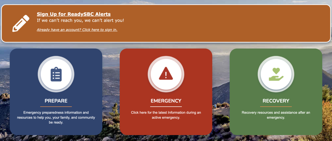
For Santa Barbara County (click the link below)
