


Hey, Central Coast! Happy Thursday.
The significant heatwave of the summer season began on Wednesday and continues through at least Saturday into Sunday.
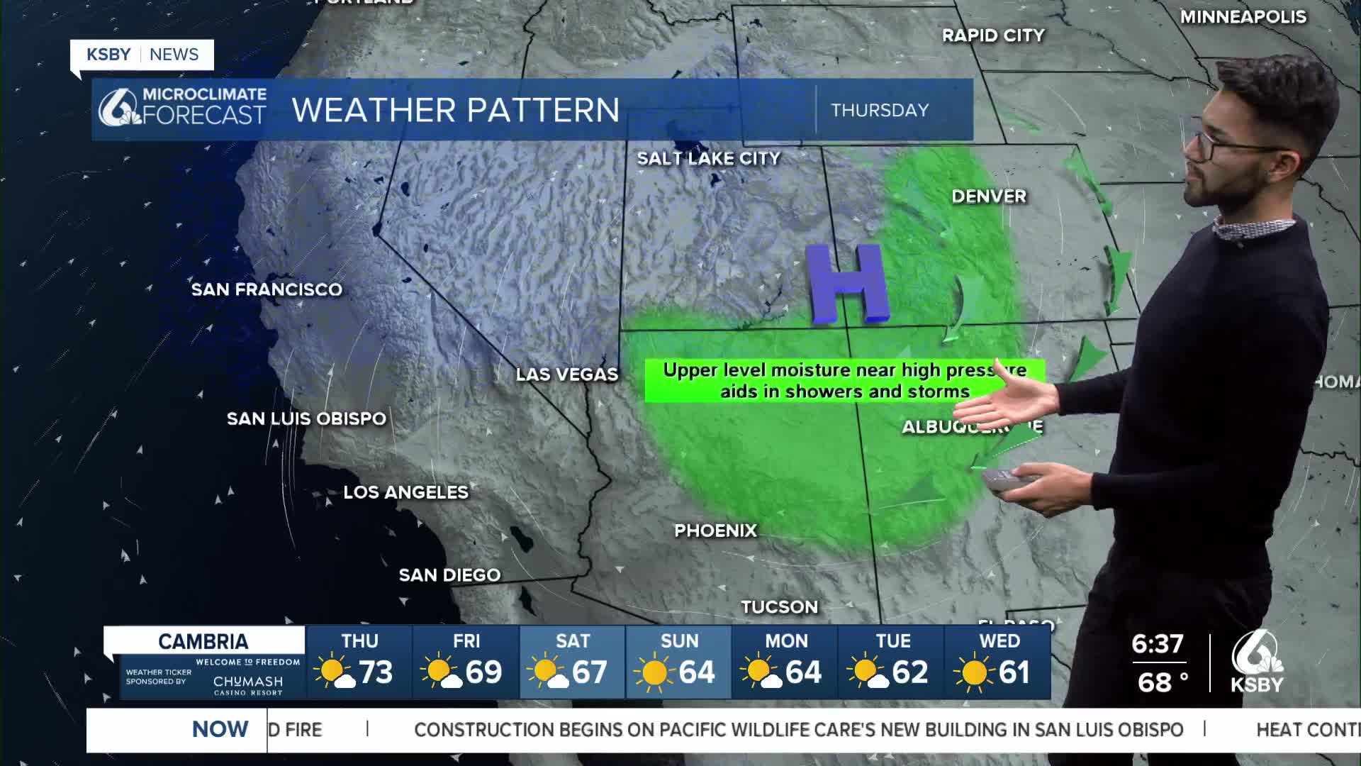
The reason why we’re experiencing this warming trend is due to a high-pressure system positioned over the 4 Corners Region, and it is expected to strengthen. The system will cause dangerously hot weather in California.

Expect temperatures to soar into the 95-105 degree range over interior areas, peaking Thursday and Friday.


Given the position of the high-pressure system, monsoonal moisture is expected to move into the region this week. The best chances for showers and storms will be across the eastern San Gabriel Mountains on Friday, and then spread west into the Ventura County mountains this weekend.

Unseasonably strong instability will create a fire environment capable of producing extreme fire behavior.
However, the low humidity, breezy winds, and hot weather increase the risk for wildfires.
A Heat Advisory was also issued for San Luis Obispo and Santa Barbara counties until 9 p.m., Friday, August 22, 2025.

A Fire Weather Warning (Red Flag Warning) has been issued for San Luis Obispo and Santa Barbara counties until 9 p.m., Saturday, August 23, 2025.

An Extreme Heat Warning has been issued for San Luis Obispo and Santa Barbara counties until 9 p.m., Saturday, August 23, 2025.

Get outdoor activities done as early in the morning as possible, and don't leave people or pets in closed vehicles for any amount of time.
-Eddie
