

Happy Friday evening, Central Coast!
As we head into the weekend, there is a bit of change on the way. A cold front is pressing south, and while northern California will see rain, we can expect more clouds, cooler temps, winds, and waves.

That being said, the weather overall will be pretty mild with a few key challenges that will cause minimal impact to weekend activities.
Starting this evening, marine fog will move in. Limited visibility is expected Saturday morning for all western beaches, coastal valleys and even into the southern Salinas River Valley. Here is a look at the dense fog advisory.

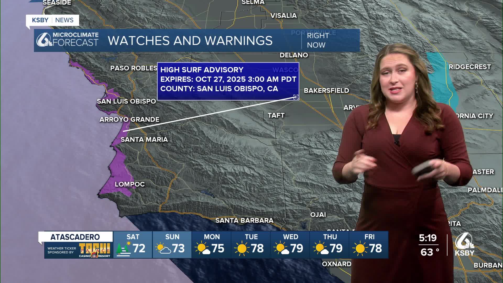
Additionally, waves are a concern. A long-period northwesterly swell will bring 10-14 ft waves and rip current risk to the western beaches through early Monday morning. Here is the high surf advisory.

Temps Saturday will fall a few degrees as well. 70s for interior valleys, 60s for coastal valleys and beaches will struggle to reach 60.

Into next week, a strong high-pressure system will build in. The ridge will settle in and bring some warming to the region. Waves will calm as well as winds, taking a break. All of next week looks great! Here is the 7-day forecast!


Have a wonderful weekend, Central Coast!
-Vivian
