

Happy Wednesday, Central Coast!
We are over the halfway point of the week! Wednesday brought some light rain to our communities with clouds lingering all day.
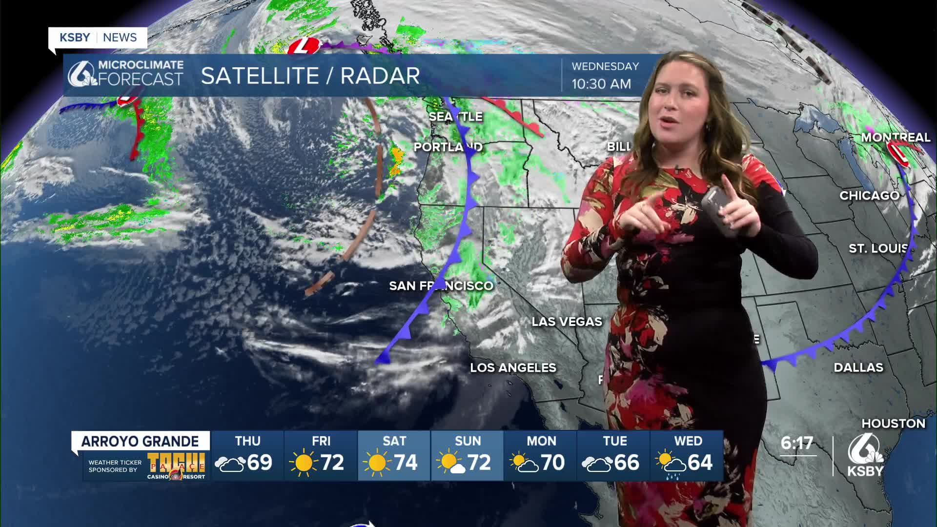
The rain is caused by a cold front just clipping Northern San Luis Obispo County on its way out of the region.

Some lingering showers remain possible through the evening although the vast majority has already passed.
As far as accumulations are concerned, this storm will bring just traces to most spots with up to a quarter inch along our north coast. Here is what is left from the storm.

Thursday will clear the cold front and bring some sunshine. Temps will warm slightly as well!

Turning to our coasts. The combination of high waves and king tides has prompted a few alerts.
Western beaches will see heightened surf (up to 16 ft sets) through Saturday evening.
Combine that with the high tides, and we have a coastal flooding advisory (western beaches) and a beach hazard statement (southcoast) through Friday.

Here is a look at the tides we can expect for the next few days.

Turning back to the forecast. The remainder of the week will bring warmth and sunnier skies. By the weekend, some 80s are expected for the interiors with upper 70s elsewhere.


Wednesday next week, things will change. I am following the chance for a larger storm headed our way. It is still a long way out so a lot could change, but this storm could bring significant rain. I'll let you know the latest as more info arrives.
Have a great evening,
-Vivian
