



Good morning, Central Coast!
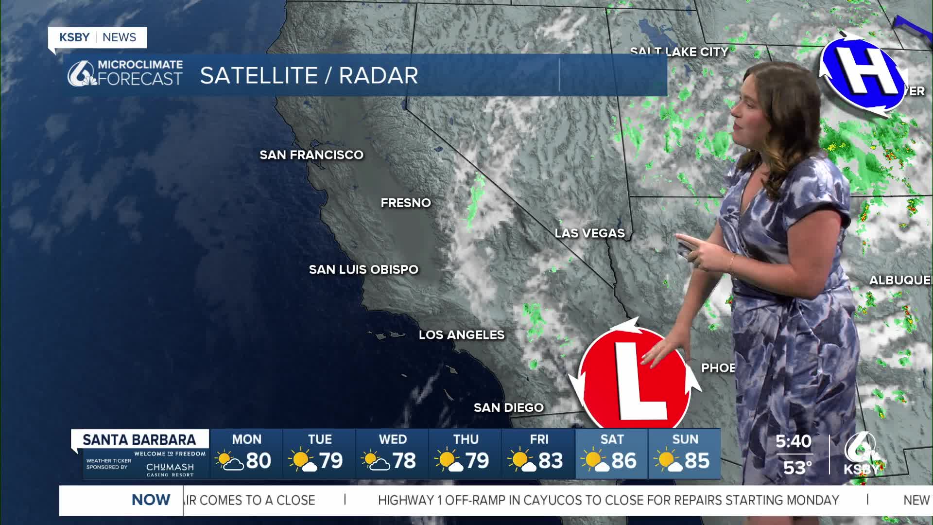
As we kick off the work week, clouds are still the story for the morning hours with abundant sunshine for the afternoon. Hot temps are also still securely in the forecast.
The morning cloud cover is sitting low in the atmosphere and is expected to keep the beaches and coasts cooler this morning. By 10 a.m. most coasts will have cleared, and the heat will be kicking in. Here is a look at what we can expect for our high temperatures Monday afternoon.

This heat is enough that the heat advisory is still in place for our interior valleys. This will stay in effect through 8 p.m. tonight.

Once that expires, I expect a new round of alerts to be issued as more heat is on the way.
One quick side note. If you are headed to the beaches to cool off this week, there is a significant rip current risk, plus higher waves. Be cautious if you are in the water.
For the remainder of the week, it will continue to get hotter. By Saturday, temps will rival record heat for Paso Robles.


Have a wonderful day, Central Coast!
-Vivian
