

Happy Monday, Central Coast!
As we kicked off the work week, we saw great weather with temps climbing well above typical daytime highs for this time of the year.
Most spots got up to the 70s today, for some context, the average high for this time of the year is just 61 in Paso Robles, 65 in San Luis Obispo, Santa Maria, and Santa Barbara.
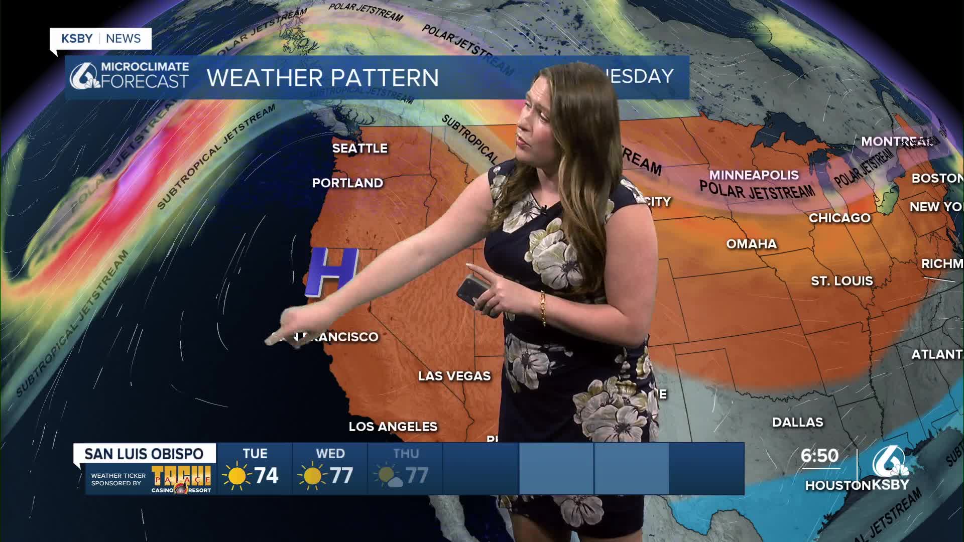
The reason for this warmth is a huge ridge of high pressure that is in place for the West Coast. This will bring more warmth to the region as well as helping to redirect a strong storm far to the north.

The broad clockwise flow around a high-pressure system will bring us offshore winds, low humidity, sunshine, and will banish the marine layer far offshore.
One small thing to note. High waves are still lingering overnight. The high surf advisory has been extended to 9 a.m. Tuesday morning for all western beaches.

Temps for Tuesday will be similar to today, with highs in the 70s across the board. The offshore winds may heat up a few communities faster so a stray 80 is possible as well.

Here is what the 7-day forecast looks like. Lots of sunshine and warm weather extending through this week and into next week. The warmest day will be Wednesday, but even with a slight cool down for the weekend, we will still be well above normal for the afternoon high temperatures.


Even into the extended forecast, we can expect more sunny skies and lots of warm weather as the pattern remains rooted in high pressure.
Have a wonderful day, Central Coast!
-Vivian
