

Happy Friday Eve, Central Coast!
It has been a bit of a messy weather day across the region as the remnants of Tropical Storm Mario push north. There is still more rain chances on the way plus a warm up and another rain chance next week. Before I dive into all that, here are a few links I find helpful to have on hand!
Okay, into the forecast now! If you woke up thinking 'Where is the rain?" you are not alone! If you looked at the radar to see a lot of rain indicated and got more confused, you are exactly like me!
As the storm pushed north overnight into Thursday morning, it battled a mass of very dry air right at the surface. So much of the rain has fallen from the clouds and re-evaporated before hitting the ground-aka it is virga. Here is what the radar looked like around 8:30 Thursday morning.

As the day progressed, storms continued to push through and with some pockets of sunshine, a few additional thunderstorms popped up. Thankfully for the Central Coast,, at least these fell apart quickly. In Kern County, though, they saw a few damaging storms into the afternoon.
The humidity is now one of the aspects I think most people will notice. For some interior valley communities used to just 25% humidity, they were up in the 90s. That was higher than all of the state of Florida for a few hours this afternoon.

Into the evening the risk for a few scattered storms continues to push in, but they will be minimal, thanks to that all the flood alerts for our interiors have been canceled.
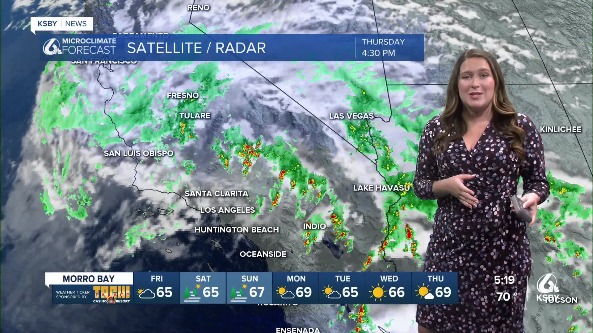
Here is a look at the rain still possible across the region.

Tomorrow a few lingering showers and high humdity is expected. Temps will be nearly identical to today.

Into the weekend temps will climb by a few degrees and with abundant sunshine it will be a nice one! Next week temps will fall again with another slight chance for rain on Tuesday.
Here is a look at those 7-day forecasts!


Have a great evening Central Coast!
