
We're halfway through the week, Central Coast! Keep up the great work!
We have a cool down today due to a low-pressure system.

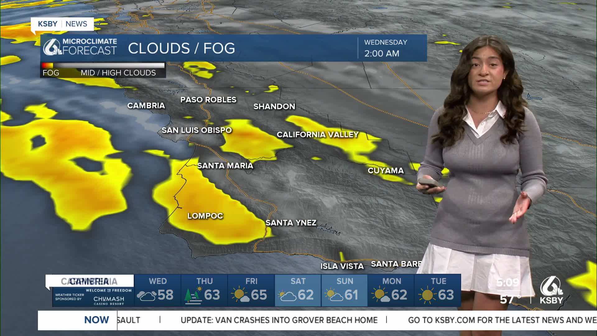
We're seeing some showers due to marine layer fog. As well as heavier rain and thunderstorms in our interior areas. Keep that sweater and raincoat nearby.

With this system, the marine layer will extend to 3000 ft (way more than normal), which means morning fog and cooler weather even into the interior valleys tomorrow. 70s for the warmest spots. Most will be in the 60s and upper 50s by the beaches.

Overall, rain is very minimal and not too noticeable, just something to be aware of.

Onshore winds are helping keep temperatures down. We'll see wind gusts from 15-25 mph, with strong sundowner winds along the southcoast.

Although there isn't a wind advisory at this point, a high surf advisory has been in effect since the beginning of the week. It's in effect until Thursday at 3 a.m. Please be safe by the coast.

Today is the coolest day of the week; we're down multiple degrees in most areas this morning. Keep that sweater handy.

Tomorrow we will warm up and clear up. Here's our 7-day forecast:


Have a wonderful Wednesday!
