

Happy Friday evening, Central Coast!
As we head into the weekend, we still have a few days of mild weather to enjoy before storms roll in. This will bring significant concern for travel across the region.
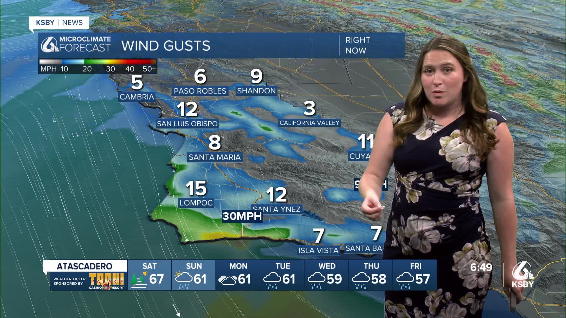
Tomorrow, most temperatures will be right around today's highs; no big issues are expected.

The bigger changes are going to arrive on Sunday afternoon.
A quick disclaimer before we really dive in, the main bands of rain are still quite a few days out and will shift around with timing and amounts. I recommend preparing for significant rain and travel woes, kind of a prepare for the worst, hope for the best forecast.
Here is a quick timeline for the storms.

Right now, a strong atmospheric river has settled into Northern California. This will bring significant rain over the weekend, but limited concern for us.

On Sunday, the system to our north will sink south slightly and bring a few small showers to our northern communities. More of the same is possible on Monday but these showers will be limited at best. What they will do is open the door for the atmospheric river that will bring inches of rain to the region next week.
The conditions will stay on the cloudy and unsettled side on Monday and for much of Tuesday. I have kept some rain icons on the 7-day, those are simply to signify the few showers expected. On the whole, it will be a cloudy but mild set of days.
Tuesday night into Wednesday morning (early Christmas Eve), the first band of rain will arrive. This will bring in strong winds and heavy rain. Several inches of rain are possible with the highest totals along the east-west ridges and at the highest peaks, although valley communities will still see significant rain.

Rain will continue with a few heavy bands embedded through Thursday and Friday (Christmas and Boxing Day) and even for Saturday morning.
All three of those sections of the storm will add up to inches of rain for the region. Highest elevations will see substantially more, but the whole of the Central Coast is in for a soggy week. I have held off showing rain totals all week, but now that most of the system is captured in the 7-day forecast, here is a look at what we can expect.

Here is what all of that rain looks like on the 7-day forecast.


Even once we reach the end of next week the more active pattern will stay in place. I wouldn't be surprised if another storm sneaks in before the new year.

Have a wonderful evening and a fantastic weekend, Central Coast!
-Vivian
