

Good morning, Central Coast!
First thing's first, we've got a break in the almost-consistent rain for the next few days. A few chances of thunderstorms are lingering on our south coast but buy and large, today is much clearer than yesterday. Though the rain is over, watch for leftover floods on roadways when you're traveling!
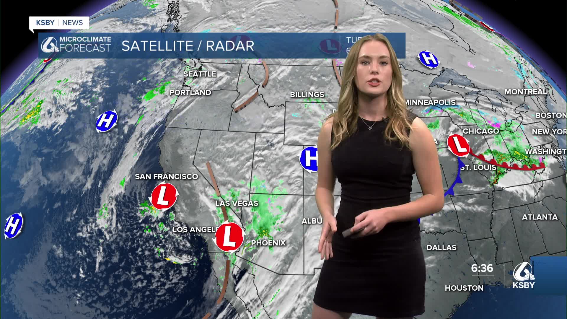
Most of the low pressure system (that we can thank for the high winds and rain from yesterday) has passed through and is making it's way through the Southwest.

For today, South Coast residents can expect a little bit of rain, but much less than an inch. Only a few centimeters is expected across the region. A smaller bit of rain is heading toward us just in time for Thursday, but like the rain on the South Coast today, it will be less than we saw yesterday. Areas across the Central Coast won't see over a half inch of rain for the rest of the workweek.

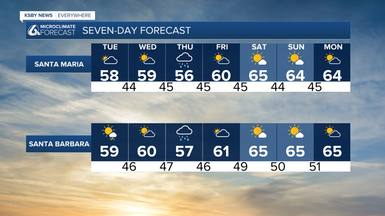
Aside from Thursday, it's looking like a pretty consistent week! We'll see a slight increase in temperatures until our rainy day, but then we'll hit the mid-60 temperatures in time for a comfortable weekend.
Cloudy skies are going to stick around for the foreseeable future.

Like I mentioned earlier, there is a chance that roads will get slick again on Thursday and some leftover road flooding could be in some parts of the Central Coast today.
Stay safe and have an amazing Tuesday!
