

Good morning, Central Coast!
Wednesday was a hot one across many of our communities, even setting and tying a few records!

The record high was tied in Santa Maria on Wednesday at 84, and a new record was set in Santa Barbara at 82.
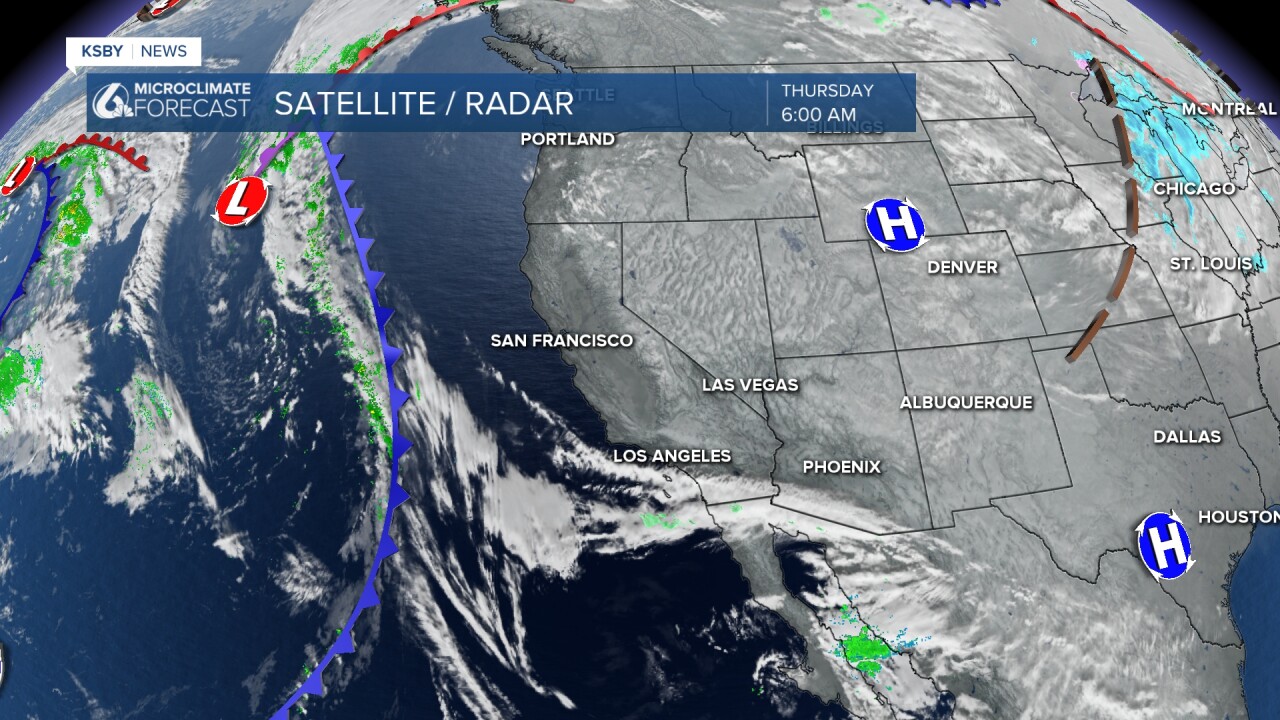
The reason for all that hot weather is a huge ridge of high pressure that has kept us warm and sunny over the past few days. That ridge is breaking down, though, as a cold front presses in from the west.
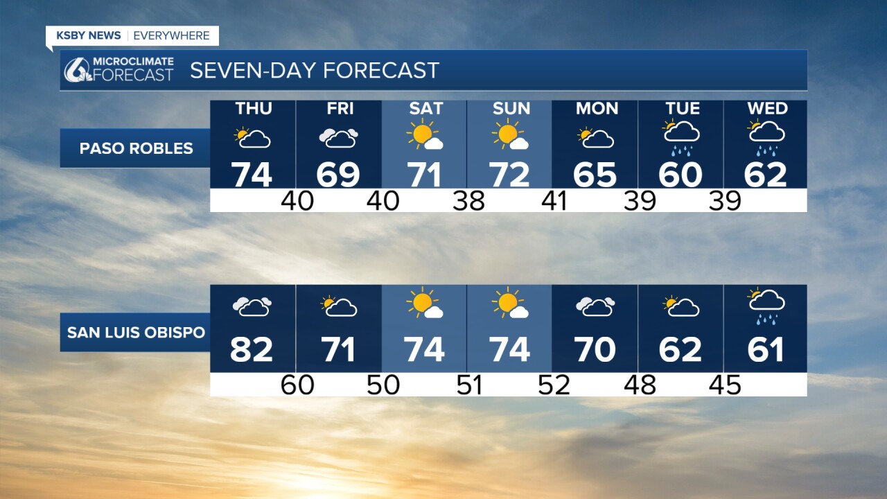
Thursday will just eek out one final day in the mid 80s. Here is a look at the highs expected this afternoon.

This afternoon, cloud cover will start to cover the region. It will start light but will make for a cloudy start to Friday morning.
Friday's highs will take a tumble back into the mid 70s. That is about 10 degrees cooler than previous days, but still much warmer than normal for this time of the year.
Some clouds and mild weather are in store for the rest of the weekend but next week we have another change on the way.
Now that the blocking ridge is fading, the door will be open once again for storms to make their way through the region. Monday into Tuesday next week, a small system is expected to sweep through the region, breaking the month-long dry spell we have seen. Accumulations look low but any rain is helpful.

One more thing I am keeping an eye on is the waves. Friday through the weekend, local sets up to 14 ft are expected with dangerous rip currents. This has prompted a high surf advisory for all beaches in place through 6 a.m. Saturday.

Have a wonderful day, Central Coast!
-Vivian
