

Happy Wednesday, Central Coast!
Wednesday brought mostly sunny skies and temperatures around normal for this time of the year.
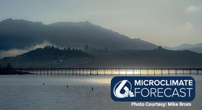
Thursday may bring a little fog in the early morning but it will clear out super fast. Temps will warm a few degrees into the afternoon.

Into Labor day weekend, temps will rise once again and make for a warm and sunny holiday across the region. Thankfully, this warm-up is not as substantial as recent heat waves, we will stay well below warning level criteria. Other than the warm temps in the interiors it will be a wonderful holiday weekend. Monday (Labor Day) will bring a slight cooling trend that will bring us back to normal for this time of the year by the middle of next week.


Also, into the weekend, I am keeping an eye on the tropics. Tropical Storm Juliette is moving north parallel to Baja California. It will lose strength well before reaching us, but brings the potential of slightly heightened surf into the weekend. Not a particularly large problem, but something to be aware of. It will also push outer bands of clouds into SoCal, this is expected to bring a few scattered showers to San Diego tonight and into LA over the next few days. We are just on the edge of this risk and could see some small showers and clouds Friday but they will be minimal. Not too much of a worry.
Southern CA is expected to see moisture from the weakening Tropical Storm Juliette starting tonight. There is potential for showers & tstms starting early Thur (poss as soon as tonight) - Fri, & best chances will be for LA/Ventura Co & S coastal waters. #socal #cawx #CArain pic.twitter.com/0MQOPcJDki
— NWS Los Angeles (@NWSLosAngeles) August 27, 2025
Have a wonderful evening, Central Coast!
-Vivian
