

We made it to the halfway point of the week and got to enjoy lots of sunshine today! That is about to change as a cold front pushes into the region tonight.
Here is what the overall pattern looks like. You can see the clear spot we are in right now, the cold front for tomorrow, and thankfully also the high pressure on the other side of the forecast.

All of that translates to a rainy Thursday, then clear and warmer conditions for the weekend.
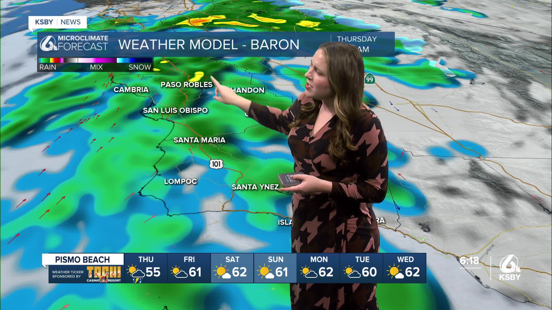
The rain will begin overnight and be widespread by the morning commute. This is the expected radar for 8 a.m.

Into the afternoon, the storm will break up, leaving a few scattered showers across the region but limited activity into the evening.
Accumulation wise most spots can expect around a quarter of an inch. Not a massive storm but still noticeable.

Here are the expected high temps for Thursday, most spots will be in the mid 50s.

There is a high surf advisory in place from 3 p.m. Thursday through 3 a.m. Monday for all western beaches. Large breaking waves 12 to 16 ft with dangerous rip currents are expected.

Into the weekend. a high-pressure system will move in and bring in a modest warming trend and mostly sunny skies. This will be the story through early next week as well. You can expect warmer temperatures and lots of sunshine!


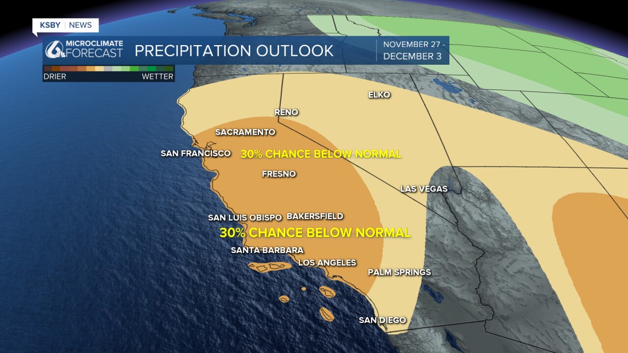
Even into the week of Thanksgiving, we are looking at a dry pattern with temps at or above normal.
Have a great evening and stay aware of the rain tomorrow, Central Coast!
-Vivian
