

Good morning, Central Coast!
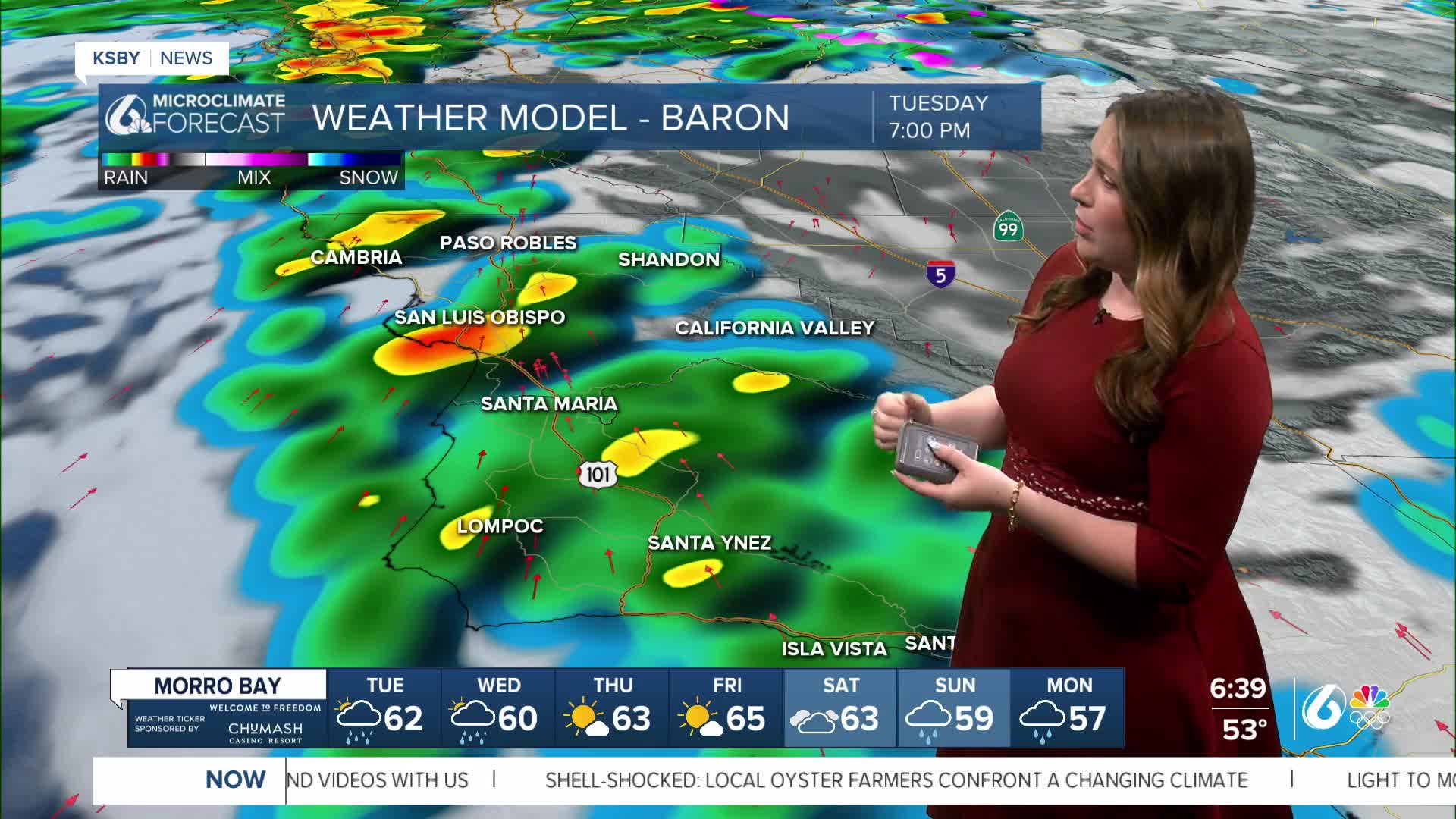
As we kick off our Tuesday morning it is a cloudy and cool one as a system nears us to the west.

A few very light showers are possible, but they will be limited. Our air is very dry right now, so the first few raindrops will likely evaporate before reaching the ground (virga). During the day, very little will change; more rain will build in the evening.
The vast majority of the accumulation will be later this evening into Wednesday morning. Some spotty showers are expected to linger into Thursday morning, adding slightly to the accumulations.

Here is a look at the expected accumulations. This is a slight increase from previous predictions as the storm has incorporated a bit more available moisture.

Once the core of the system passes east of us, conditions will slowly improve. By Thursday night, just some pockets of cloud cover are expected.
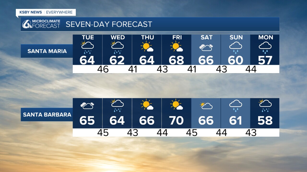
Thanks to the storm temps have taken a tumble. Here are the highs we can expect.

Along with the rain and the cooler temps there will be strong winds. That has prompted a wind advisory through Wednesday.

There is also a high surf advisory in effect through Wednesday.

The end of the week and even the start of the weekend will be mild with some warming and sunshine.
Into the very end of the 7-day forecast, another system arrives. This looks to be more robust than the earlier rain chance, but it will still be mild on the whole. Sunday, Monday, and Tuesday bring the rain, winds, and waves. I'll be keeping a close eye on the system as it gets closer throughout the week.

Have a wonderful day, Central Coast!
-Vivian
