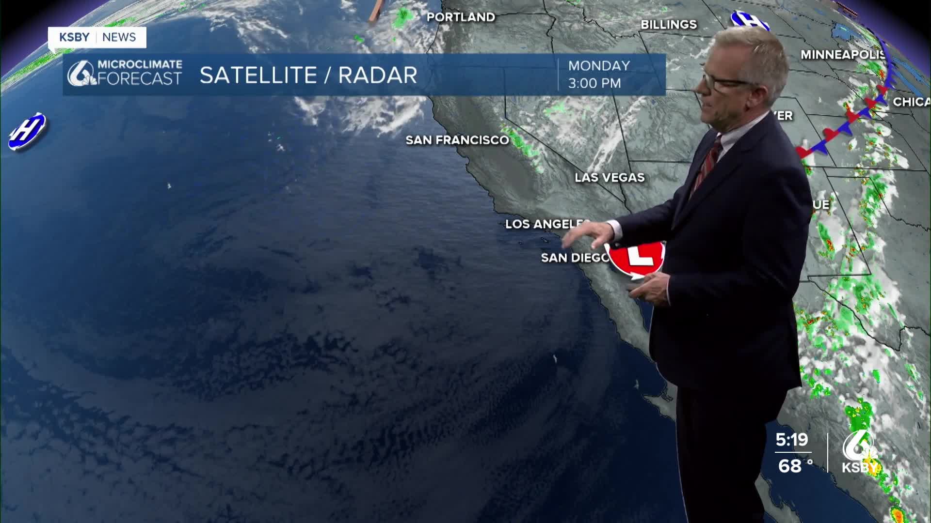


We can expect a mix of weather patterns over the coming days, beginning with cooler temperatures on Monday and Tuesday, followed by a warm-up midweek. Low clouds overnight and morning fog will continue to affect coastal areas, while inland valleys experience clearer conditions.
Monday night into Tuesday, low clouds and fog are expected to blanket coastal areas overnight, extending inland. Tuesday morning will likely see a similar weather pattern with minimal changes in temperature compared to Monday.
Starting Wednesday, we'll start to see a warming trend, raising afternoon high temperatures back to near or slightly above seasonal averages.
Temperatures will continue to rise on Thursday.
The extended forecast shows minimal day-to-day changes in temperatures with highs generally ranging from the 80s to lower 90s in the valleys, while coastal areas remain in the 70s.
Looking ahead to Saturday, temperatures are forecasted to peak before a slight cooling trend begins on Sunday and Monday.
