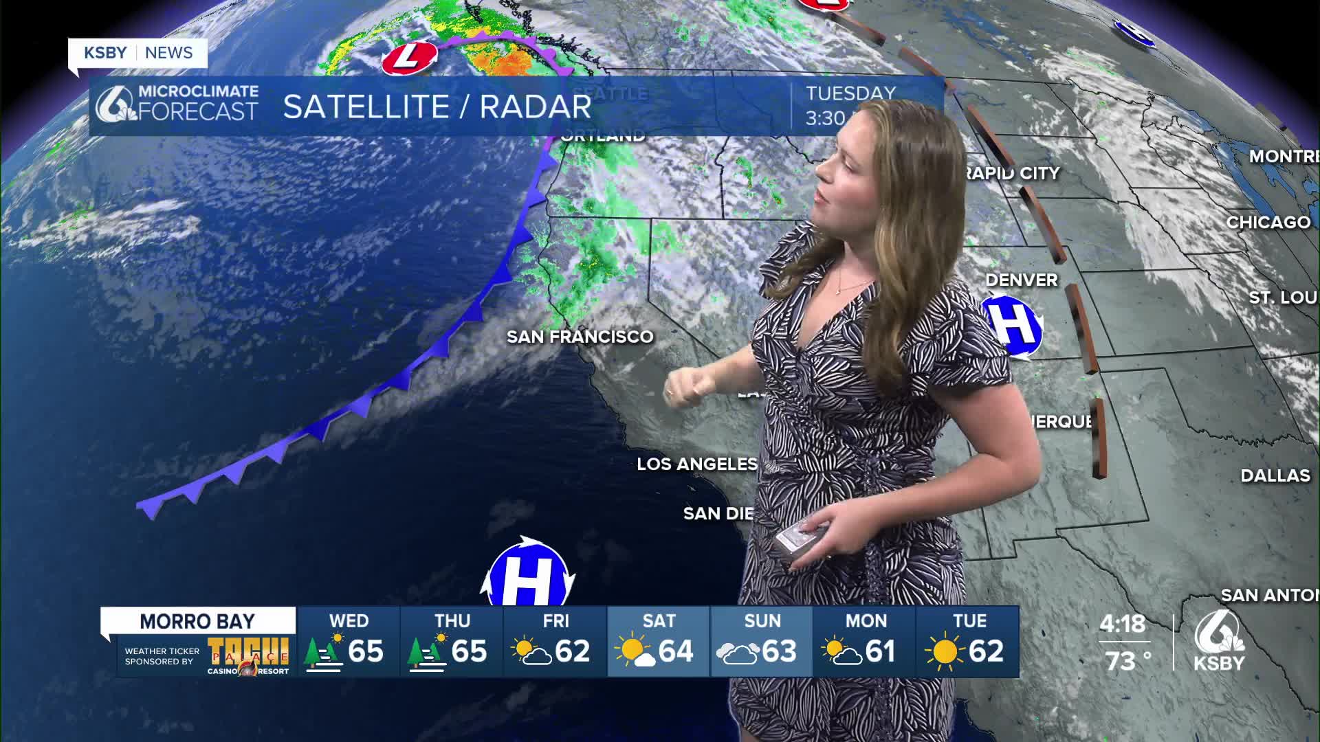


Happy Tuesday, Central Coast! It has been a pretty nice day on the whole, with some clouds lingering across the region. This is all thanks to a broad trough of low pressure sitting offshore and bringing hazards across the Pacific Coastline.

For the PacNW that means some heavy rain over the past few days. This rain has made its way as far south as the San Francisco Bay; from there, the tail end of the system is just bringing clouds and slightly cooler-than-normal temps to the region.
High temps on Tuesday climbed into the upper 70s across the region. Those uncharacteristically even conditions are a bit below normal for this time of the year, but are very comfortable.

Into Wednesday, similar clouds are expected in the morning, with lingering patchy cloud cover expected through the day. Temps will stay a little below normal for this time of the year, but will see a slight increase in afternoon temps across the board.

There is a lingering risk of hazardous rip currents for all of our western beaches. This is a remnant of the more turbulent ocean behavior from Hurricane Narda. Just be extra aware if you are by our beaches!

Over the next few days, a few small changes are expected, but on the whole, we are expecting really comfortable conditions paired with some gusty winds and a few overhead clouds.
Here is a look at your 7-day forecast!


Have a wonderful evening, Central Coast!
-Vivian
