

Happy Monday evening, Central Coast!
As many people headed back to work today after a soggy holiday season, we saw cloudy skies and a few brief showers for our communities. This wasn't too substantial, but paired with the choppy seas and standing water from our last storms, it made for a bit of a gloomy day.
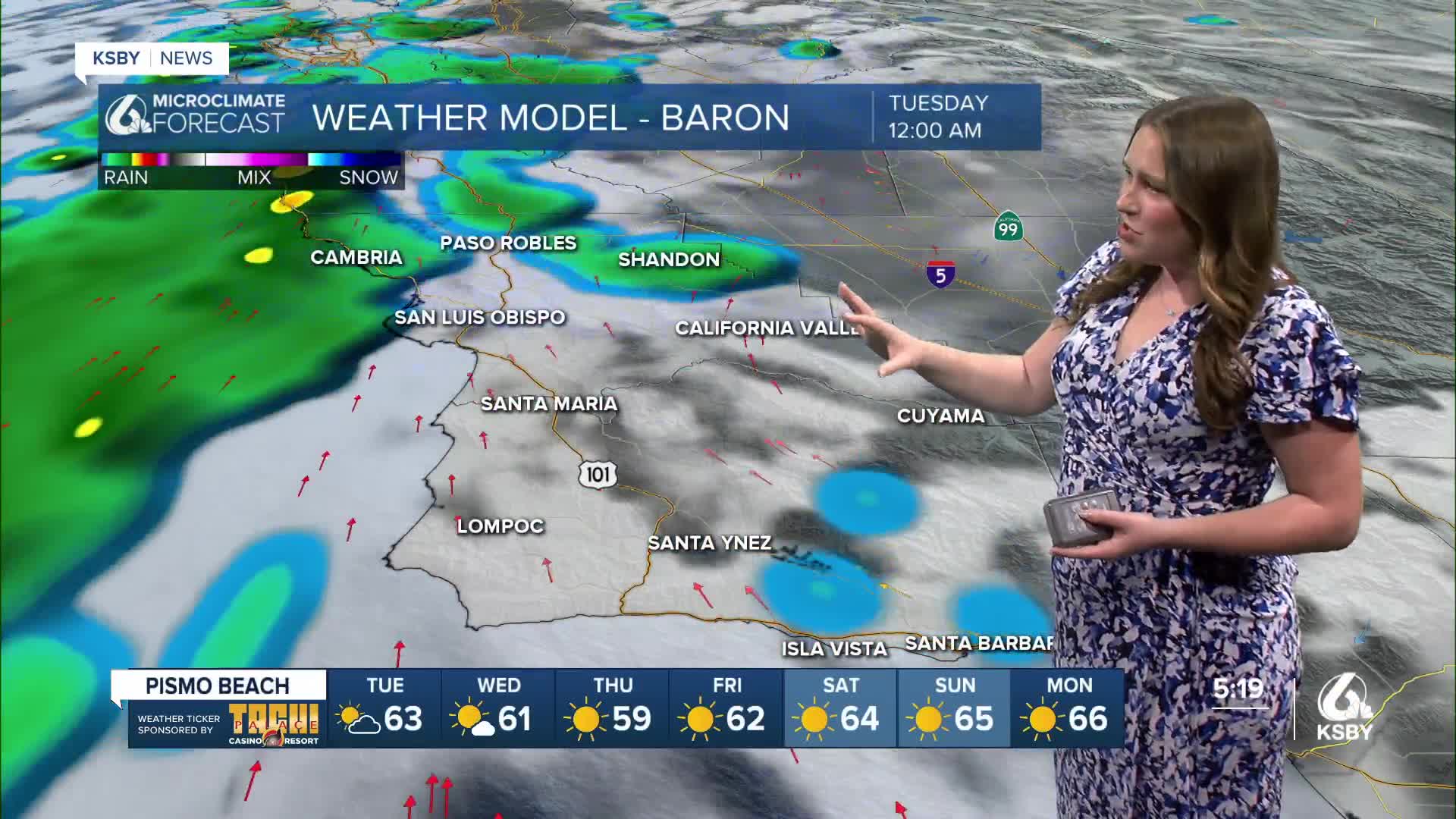
This evening will be more of the same as a large storm system sits just to our north.

The vast majority of the rain associated with that storm is staying north, but we will see a couple wandering storms making their way through the region.
Most of the showers will just be a few raindrops, but still something to be aware of through Wednesday night when the risk dissipates.

These scattered showers will not amount to much. We are talking just hundredths of an inch. That is on top of the soggy weather we have seen recently. Here is a link to the interactive rain map for the region.

Turning back to the "nuts and bolts of the forecast," Tuesday will be cloudy once again but with some patchy sunshine. That combination will help with a slight warm-up across the board.

Once we get into Thursday morning, the story will shift more significantly as a high-pressure system moves in. We will see abundant sunshine and warming temps. By the weekend, we will see low 60s for the interiors and upper 60s (maybe even a 70-degree day or two for our coastal valleys).


Even into the further extended forecast, we will continue to see high pressure. For us that means more sunny skies, warm weather, and no more rain.


Have a wonderful evening, Central Coast!
-Vivian
