

It was another soggy day across the Central Coast with a cold front passing through. Here is a look at how much rain we have seen so far today.
Into the evening, more rain is expected, mainly for the south coast, but a few showers can't be ruled out across the whole region.
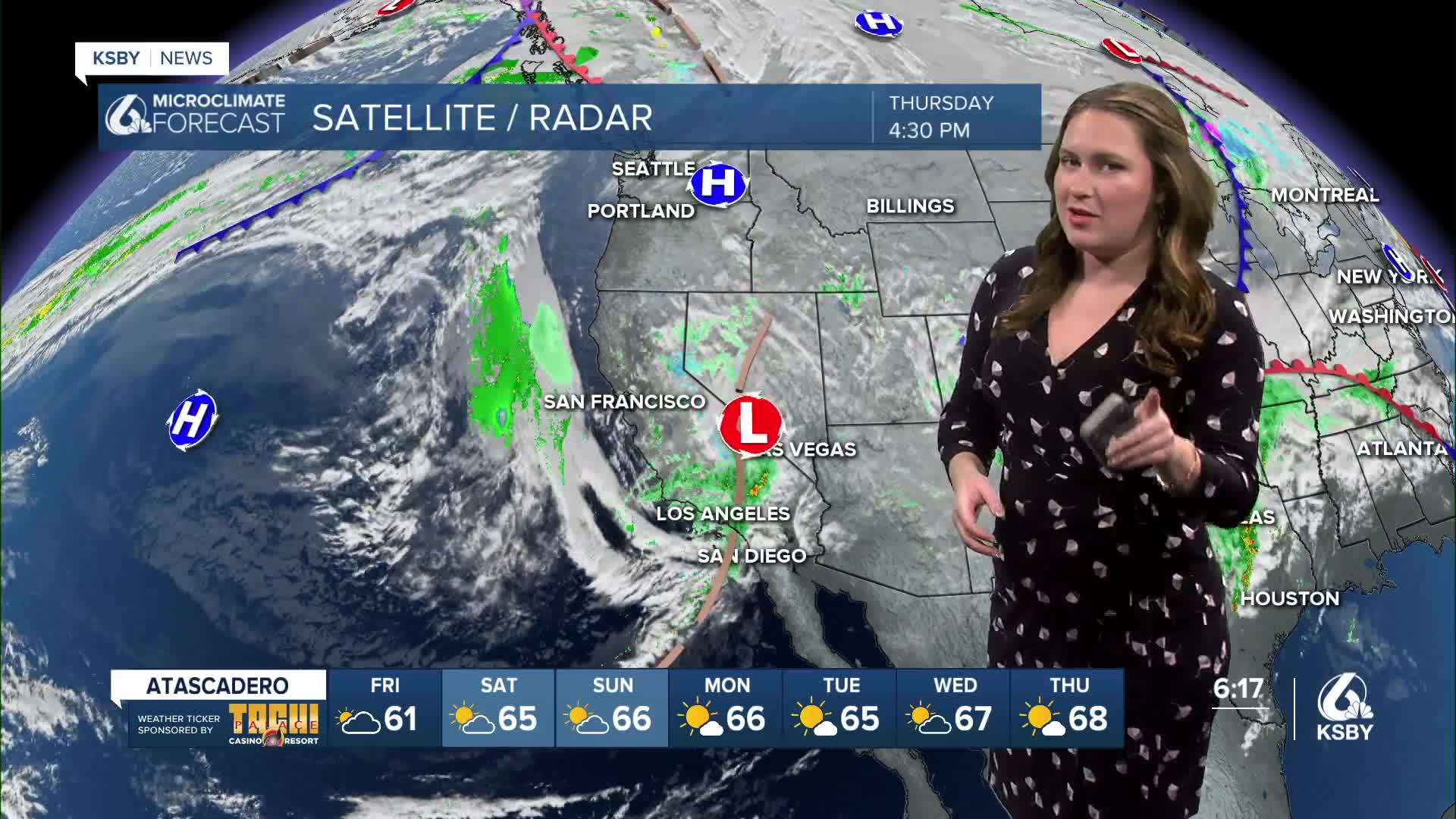
Here is a look at the interactive radar.
Into the overnight hours, the cold front will stall and keep the core low pressure just a few hundred miles to our west. For us, that means lingering shower chances into Friday morning. These will mainly be quick-moving, and a stray thunderstorm can't be ruled out.

Accumulation-wise, we are pretty much done in San Luis Obispo County with just a few hundredths of an inch left. Along the south coast, we can expect another third of an inch with more possible at the highest peaks in the Los Padres National Forrest.

Temperatures will warm and skies will clear for Friday. Here is a look at the temps across the region.

There is a high surf advisory in place for all of our western beaches in place through early Monday morning. Local sets up to 16 ft are possible with dangerous rip currents as well.

Into the weekend, we will warm a few more degrees with more sunshine as well.
That warming trend will remain the story with sunny skies into next week. By Thanksgiving day, temps will reach 70 with sunshine. Great news for family gatherings and turkey-trots.

I am following the chance for a storm the weekend after Thanksgiving but it is too far away for any certainty.
Here is a look at the 7-day forecast for our region.


One final thing I want to showcase is the drought monitor. After all the rains we have seen over the past week, there has been enough accumulation for the whole region to be out of the drought stage! Yay!

Have a wonderful evening, Central Coast!
-Vivian
