

Good morning, Central Coast!
Monday kicked off the week with abundant sunshine and warm temps. While they weren't quite as hot as the weekend, many spots still climbed into the upper 70s. Here are the observed highs from Monday.

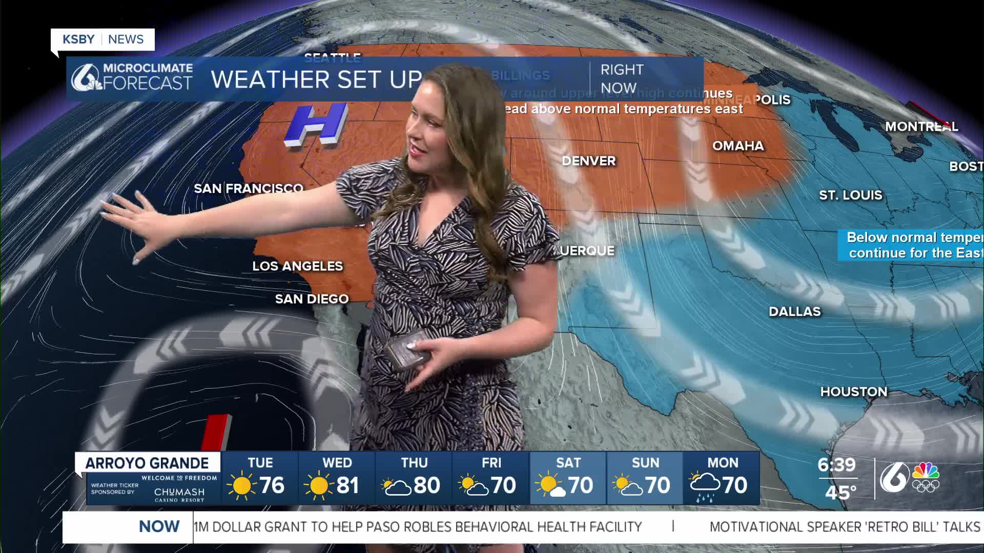
Today we can expect another set of highs in the 70s with abundant sunshine and some light offshore winds.
Here are the highs we can expect today.

The wonderful warm weather is driven by a large high-pressure system that is sitting just offshore. That will continue to bring us light offshore winds. Down to our south, through the LA Basin a strong Santa Ana wind event is taking place. Be aware of concerns with winds in LA as well as the potential for record highs for some spots.

One thing to be aware of for the Central Coast is the lingering high surf concerns. There is a high surf advisory in place through 4 p.m. Tuesday afternoon.

Wednesday and Thursday will be much warmer with highs soaring into the mid-80s.
Later into the weekend, we will see a weak cold front sweep through. That will cool temps by a few degrees and will bring more cloud cover, although it will not cause too much concern.


Further out, there is a chance for rain that I am watching. Tuesday into Wednesday of next week (not even on the 7-day yet), there is a chance for a low-pressure system to sweep through the area, potentially bringing us our first measurable rainfall in over a month.
Have a wonderful Tuesday!
-Vivian
