Hi Central Coast!
Thursday morning kicked off with a few pockets of fog at our beaches but that cleared out quickly revealing some high level clouds across the region. These were little more than something to glance at but are actually tied to a former Hurricane! Hurricane, now post-tropical storm Juliette made its way north towards California over the past week. Wednesday, the storm stalled and became nothing more than a lingering low pressure system with a few outer bands of clouds tied to it.
In far southern California this brought a few showers late Wednesday and into Thursday morning. Those storms have now moved into the high desert and are bringing some much needed rain.

The clouds above our heads are much of the same (to a lesser scale) as those outer bands of the storm linger across the region. Other than the interesting origin of the clouds little impact is expected.
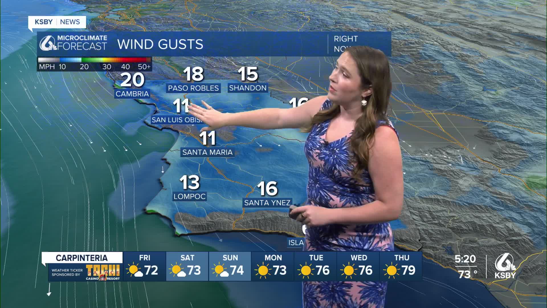
What I am focusing on more is the high pressure headed our way as we push into the holiday weekend. That will begin tomorrow with more sunshine, some offshore winds and limited marine layer. All the ingredients we need for a big warm up. Here is what Friday will look like across the Central Coast.

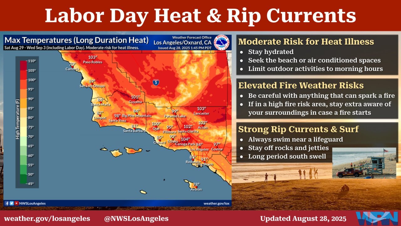
Into Labor Day Weekend the heat will intensify, triple digit heat in the interiors, 90s for some coastal valleys, and even 70s by the beach. With that heat and many spending extended periods outside it is important to remember to be aware of heat related illnesses.

Here is a look at all of that on your 7-day forecast!


Have a good evening and wonderful Friday, Central Coast!
-Vivian


