

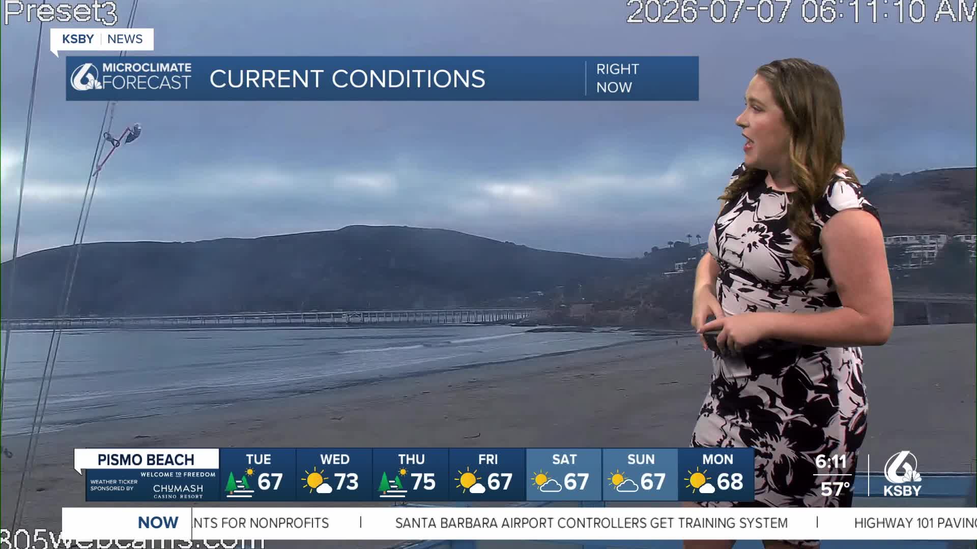


Good morning, Central Coast!
To kick off the morning, some cloud cover will bring us cooler weather; that being said, it won't last long. By mid-morning, sunshine will be abundant, and highs will soar. Here is a look at what we can expect for the day.

Because of the high heat expected this week a Heat Advisory has been issued for all of our interior valleys from 10 a.m. Tuesday morning through 8 p.m. Friday night. Take caution where temps soar and stay hydrated.

Wednesday and Thursday will be the hottest days with highs well into the triple digits for the Paso Robles area as well as for all the interiors. Friday the winds will start to turn weakly onshore and will bring more mild temps. Highs will fall (albeit slightly) and more cloud cover is expected for the extended forecast along with cooler temps.
Here is a look at all of that on the 7-day forecast.


Into the further extended forecast, I am watching a very small chance for light rain next weekend. That is mainly from the return of cloud cover but could bring very light (but still accumulating) rain.
Have a wonderful day, Central Coast!
-Vivian
