

Happy Thursday, Central Coast!
We just have one day left of the work week, and conditions are looking wonderful into the weekend!
Overnight into early Friday morning, we have another round of freeze warnings for the interior valleys. Lows may dip into the upper 20s overnight.

Here is a look at the temperatures in place for Friday.

High tides will get more intense over the weekend as another king tide event takes shape. Here is a look at the tides for Avila Beach.

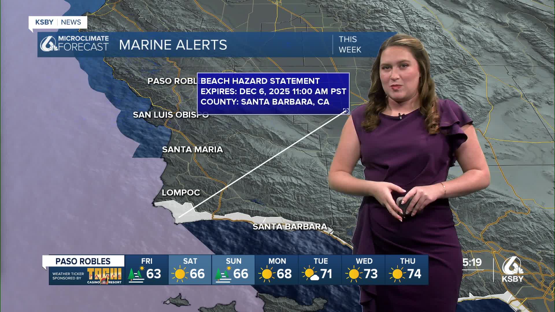
The king tides will bring the chance for some tidal flooding. There is a beach hazard statement in place for our south coast through Saturday.
The weekend will bring more sunshine and the start of a warming trend.
Sunday will bring some fog to the interior valleys but that will be the last of the concern. Next week, the warming will really take shape and will bring most spots into the upper 70s. That warm up will also raise overnight temps a bit and bring them out of concern for frost and freezing temps.


Have a wonderful Friday and a great weekend ahead, Central Coast!
-Vivian
