

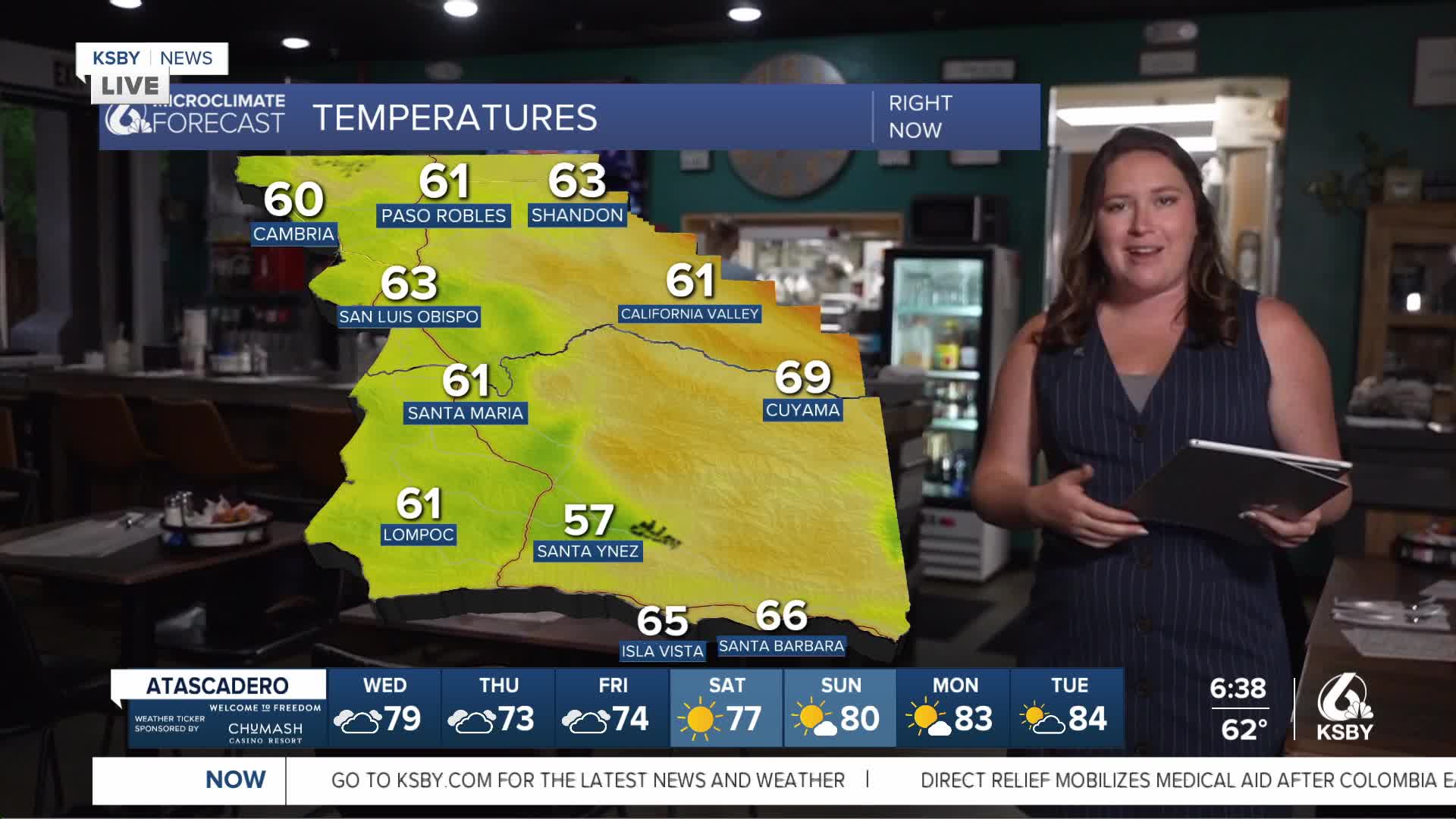


Good morning, Central Coast!
Cloud cover and cooler temps are our story today across our communities. This breaks a weeks long hot streak with temps well above normal for this time of the year.
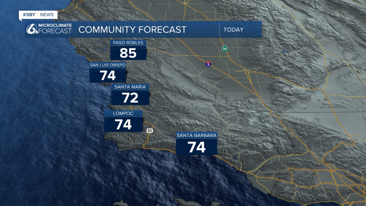
The largest shift in conditions comes from the return of marine influence to the interior valleys. Cloud cover and some localized fog is in place this morning. Into the mid morning hours we will see some clearing and a moderate warm up with temps staying below normal for this time of the year. Here is a look at those high temps we can expect for today across the region.
A couple small wrinkles in what will otherwise be a wonderful forecast. Firstly the monsoon in the desert southwest is scootching a little west and is bringing the small chance for some showers to the region. Just like Tuesday that will mainly be a few small pop up thunderstorms for the farthest interior valleys. These are not going to be widespread but are still something to be aware of.
Secondly there is some tidal flood concern for the south coast as the new moon creates some of the highest tides of the month. That will make for a chance for tidal overflow tonight around high tide.

Into the weekend we will start a very slow warming trend into the region but we will stay below normal for this time of the year into the next wee.
Here is what all that looks like on a 7 day forecast!


Have a great day, Central Coast!
-Vivian
