


Good Morning Central Coast. To kick off our Wednesday high pressure is still in place broadly through the Pacific region while some marine influence is sticking around at the surface.
This combination means mild weather today although many locations will see dense fog through the morning limiting visibility on roadways through the region.
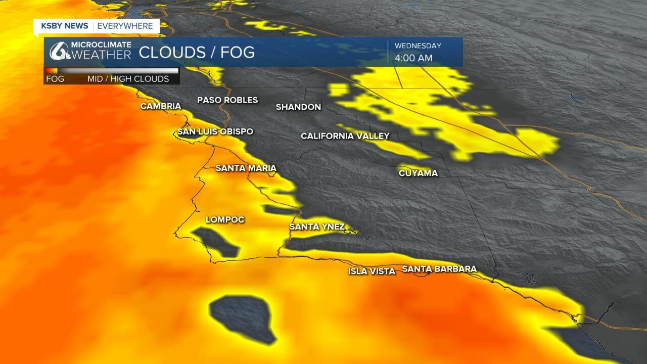
This fog is more widespread than over the past few days. Take it slow on roadways with limited visibility.
For today highs in the 60s and lower 70s at beaches is likely while coastal valleys will experience temps in the 70s to low 80s. Mid to upper 80s are on the way for the Santa Ynez Valley. Inland highs will be in the 90s and the Southcoast will be in the 70s to low 80s. There is almost no day-to-day difference until late in the weekend when the pattern shifts slightly.

This is one of those weeks a lot of Central Coast residents love: the taste of an extended summer with warm temps (but not too warm) with nice sleeping temps overnight.
This run in the weather pattern looks to extend into the weekend. Slightly cooler conditions develop for Sunday into early next week but the drop in temps is really minor.
Have a great day Central Coast!
