Happy Friday, Central Coast!
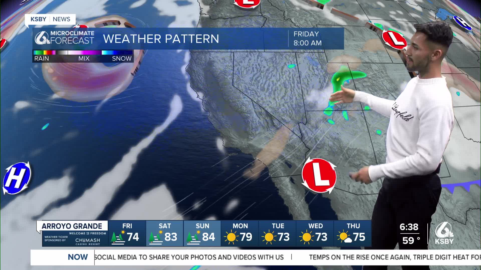
It’s going to be a warm, sunny, and dry Labor Day Weekend. Temperatures will begin to increase today and Saturday, then remain well above normal through at least the middle of next week.


Monsoonal moisture from the remnants of Tropical Cyclone Juliette has cleared out of California.
Low pressure and unsettled conditions brought by Tropical Storm Juliette allow for a weak ridge of high pressure to move in.

Daytime high temps are expected to increase through early next week.
Saturday and Sunday will see further temperature increases, with highs reaching the mid-80s to mid-90s across the beaches and coastal plains, and mid-90s to 105 for the valleys and deserts.


Northerly wind gusts, up to 30-40 mph, may impact some wind-prone areas tonight and Saturday night, including the western Santa Ynez Range and adjacent coasts, the Interstate 5 Corridor, and the interior mountains of the Central Coast.
Have a wonderful Labor Day Weekend, Central Coast!
-Eddie


