
The rain continued Saturday as our wet weekend gets underway.
The National Weather Service has published its 3 day rainfall totals, with places like Santa Margarita and Lopez Lake Recreational Area seeing some of the most rain on the Central Coast.


Our wet weather is sticking around with the next large storm cell anticipated Monday night into Tuesday.
During those overnight hours, isolated thunderstorms and heavy downpours are possible.
As for Sunday, we're anticipating light to moderate rain, with areas in north western San Luis Obispo County getting the most rain in the area through Tuesday.

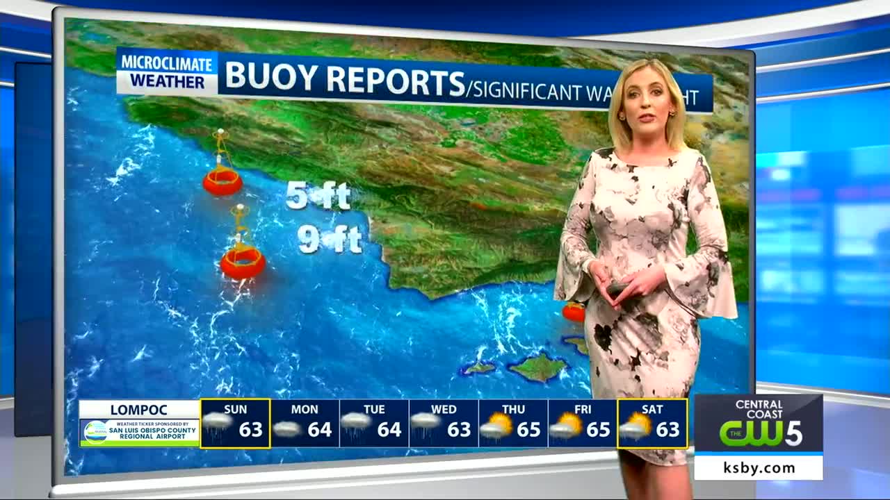
We're also tracking some very strong winds through Sunday night that are prompting several advisories that include a gale warning and small craft advisory.


Temperatures are expected to return to near normal by Monday but will then drop a few degrees again by midweek.


Temperatures are expected to return to near normal by Monday but will then drop a few degrees again by midweek.
Keep that rain gear handy!
