


Good Morning Central Coast! It is time to kick off another week and while we can expect abundant sunshine a potent offshore low will bring some gusty winds and additional wave energy Monday.
The main impact that most will notice will be the winds pushing in from the Northeast. There is a wind advisory in place until 9AM this morning for the interior valleys of Santa Barbara County. Winds 25 to 35 mph with gusts up to 45 mph expected across coastal areas and up to 55 mph in the foothills and mountains.
Winds will continue to be breezy throughout the afternoon as well just not quite to advisory criteria.
Another impact that will be noticeable will be additional wave energy across our western beaches. The combination of an offshore swell, high winds, and a king tide is increasing wave heights to 8-12 ft. with the addition of rip current risk. There is a high surf advisory in place through 10 PM Monday night due to this risk.

It was very cold overnight for lots of the wind sheltered areas, and we can expect to see similar conditions for the next couple of nights as well! Overnight lows will sink the lowest from around 1AM-8AM so for all the early birds, keep that in mind when getting dressed for the day. Layers! Don't be surprised if we see some more frost formation as well.
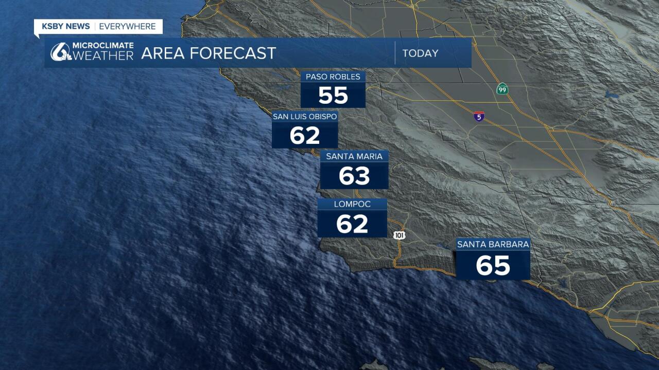
Daytime highs and overnight lows will slowly start to warm, but not by much, by around Wednesday. For the most part we will go from upper 50's and some low 60's to the mid to upper 60's.
In terms of the overall weather patter, a large high pressure system is sitting offshore of northern California. This will act as a kind of barricade between us and storms coming in from the pacific. Those systems interact with the clockwise rotating winds of the high pressure system and deflect them north. All that basically to say that as long as the high pressure stays put... we will stay dry.

There is beginning to be some signaling that the pattern will break down slightly as the high pressure moves on this weekend. The 8-14 day precipitation outlook has us in the slightly wetter than normal category.

Have a great day Central Coast!
