


The Lompoc Police Department could soon have a new set of eyes in the sky.
The Lompoc City Council has approved a two-year pilot program allowing the police department to launch a Drone as First Responder (DFR) system, designed to provide officers with real-time aerial information while responding to emergency calls. But as city leaders debated the proposal, community members voiced mixed reactions over privacy, cost and oversight.
During public comment at the Dec. 16 city council meeting, some residents warned the technology could be intrusive.
“I think this is over invasive,” one resident told council members.
Others, however, said the potential safety benefits outweigh the concerns.
“Whatever we need to do to heighten the security for the overall, I think, outweighs some of the negative,” another resident said.
City officials say the two-year pilot is expected to cost about $426,000, which includes two drones, software and staffing. Most of the funding would come from a state grant, with the city contributing roughly $100,000.
Mayor Jim Mosby said cost and staffing limitations were among his biggest concerns.
“My big concern is this is only 40 hours a week,” Mosby said, questioning what would happen if the drone operator is unavailable during a critical incident.
Mosby said those concerns are why he pushed for the program to return to the city council for review before becoming a permanent part of the department’s budget.
“So it’s not just a continual roll over creating a new position and a new expenditure,” he said.
Councilmember Jeremy Ball also raised questions about privacy and transparency during the meeting, asking how the city could balance public oversight with protections for law-abiding residents.
Lompoc Police Captain Augustin Arias said the drones would only be deployed in response to 911 calls and would not be used for general surveillance or proactive monitoring.
In a statement to KSBY, Flock Safety, the company providing the drone system, said:
We look forward to partnering with the Lompoc Police Department to bring Flock Safety’s Drone as a First Responder (DFR) technology to the city of Lompoc, giving officers faster and more complete situational awareness during incidents in the community. Byprovidingaerial views sooner, law enforcement can make better decisions, improve responder safety, and achieve better outcomes for victims and the public.
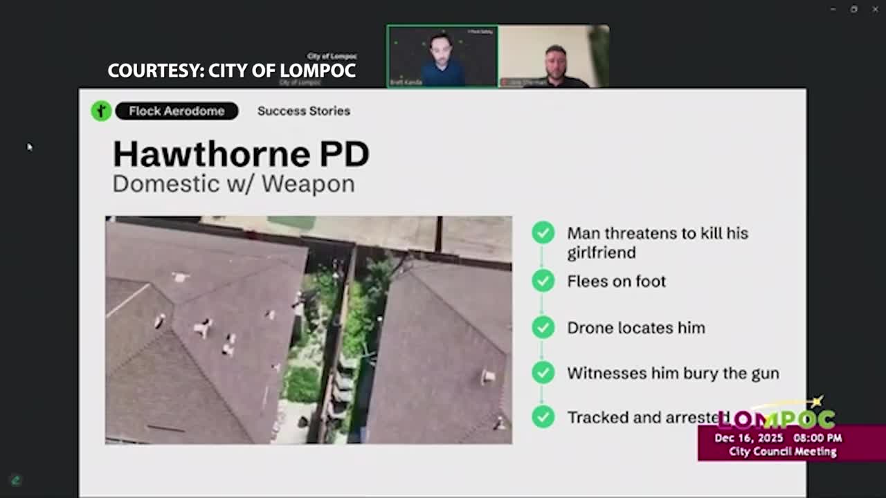
Flock’s DFR drones allow agencies to get eyes on a scene within moments of a call for service, often before officers arrive on the ground. In practice, this has helped departments:
- Safely assess active or evolving incidents before officers make contact.
- Track suspects from overhead without engaging in dangerous vehicle pursuits.
- Search large areas quickly for missing or endangered persons.
- Provide real-time intelligence to officers on the ground to improve decision-making and safety.
Privacy and Data
- Flock customers own 100% of the data collected through the DFR system — any images, video, and metadata.
- All drone flight logs are publicly available on a flight dashboard, designed with transparency and accountability in mind.
- Until the drone gets to the location of its call to service, the camera points straight, not down, to minimize field of view and potential privacy concerns.
Capt. Arias also emphasized safeguards built into the technology, saying the drones would fly directly to emergency calls without scanning nearby neighborhoods.
“It takes a direct path to the call,” Arias said. “It flies with the high visual horizon so it’s not looking down into other people’s properties.”
The department says every drone flight would be logged and publicly visible through an online dashboard hosted on the City of Lompoc’s website, allowing residents to see when and why drones are deployed.
“Any flight the drone takes, it’ll be on a dashboard that’s attached to the City of Lompoc website,” Arias said. “You can see the path that drones have flown to calls and the type of calls we’ve gone on.”
Lompoc Police Chief Kevin Martin says the department is excited to provide an even better level of service to the community, adding that the program will also benefit the city’s fire department.
