

This article was last updated at 5:48 a.m. on Friday, August 15. For the latest updates on the Gifford Fire, click here.
UPDATE (5:48 a.m.) - Containment has reached 61% as fire crews turn to backfiring operations to help battle the Gifford Fire.
___
UPDATE (6:28 p.m.) - As of Thursday evening, the Gifford Fire has burned 132,605 acres and is 51% contained.
___
UPDATE (2:04 p.m.) - In Santa Barbara County, some evacuation warnings have also been lifted and evacuation orders downgraded to warnings.
Parts of the Sierra Madre Mountains, south of Old Sierra Madre Road and north of the Sisquoc River, remain under evacuation orders.
Warnings remain in effect in areas south of Highway 166, Lower Tepusquet Canyon, and north of Foxen Canyon Road. Click here for a complete list of updated evacuations in Santa Barbara County.
___
UPDATE (12:57 p.m.) - In San Luis Obispo County, the following zones that were under evacuation orders have been downgraded to evacuation warnings: LPF-017, LPF-019, SLC-225, SLC-240, SLC-264, SLC-296, SLC-298, SLC-334 and SLC-337.
To check if your property is included in these zones, you can enter your address in the interactive map at this link.
Officials say people in evacuation warning zones may return home, but be prepared to evacuate if ordered.
Evacuation warnings have been lifted for the following zones: SLC-197, SLC-226, SLC-294, SLC-310, SLC-312, and SLC-333.
___
UPDATE (12:47 p.m.) - Gifford Fire acreage burned has been updated to 132,389 acres.
___
(11:01 a.m.) - Gifford Fire officials will hold a virtual community meeting on Thursday at 6 p.m. to provide an update on the fire and answer questions. The meeting will be streamed live on the Los Padres National Forest’s YouTube and Facebook pages. To submit questions for the meeting, send an email to 2025.gifford@firenet.gov in advance.
The Gifford Fire broke out on August 1, along Highway 166 east of Santa Maria. As of Thursday morning, it has burned 130,440 acres across San Luis Obispo and Santa Barbara counties. It is currently 41% contained.
Most of that containment is in the south and on the eastern and western flanks of the fire, as seen by the black lines in the map below. The fire has continued to grow in the northwest.
Fire officials say the large plume of smoke that could be seen across San Luis Obispo County on Wednesday was the result of a firing operation in the northwest area of the fire. Officials say good progress was made in the area where Caldwell Creek intersects with Hi Mountain Road and the fire mostly remained within containment lines. The top priority for crews on Thursday is to keep the fire within those lines along Hi Mountain Road to the north. Improving weather conditions are expected to help firefighters with this effort and slow the fire’s forward spread.
The following map shows the fire's progress since it broke out on August 1:
More than 820 structures remain threatened and more than 780 residents are under evacuation orders. As of Thursday, five structures have been confirmed destroyed.
Residents in San Luis Obispo County can check whether their property is included in evacuations by visiting this link.
For the latest information on evacuation orders and warnings in Santa Barbara County, click here.
An evacuation shelter is set up at Santa Margarita Community Hall, located at 22501 I Street. Residents can also call the American Red Cross for assistance at (805) 678-3073.
Highway 166, which had been closed since the fire broke out, reopened on Wednesday. Drivers are warned to expect delays of up to one hour while road crews continue repairs along the highway.
Other road closures include:
- Huasna Townsite Road
- Huasna Road
- Lopez Drive
- Hi Mountain Road
- Parkhill Road
- River Road
- Pozo Road
- Avenales Ranch Road
- Santa Margarita Lake Road
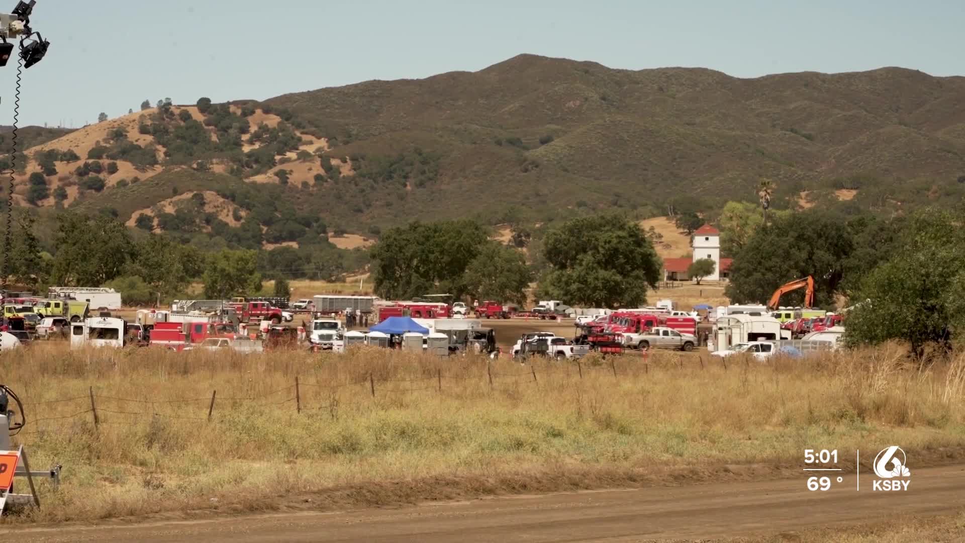
Nearly 5,000 personnel are currently assigned to the Gifford Fire. Eight firefighters have been reported injured, along with three civilian injuries.
The cause of the fire has not yet been released.
