

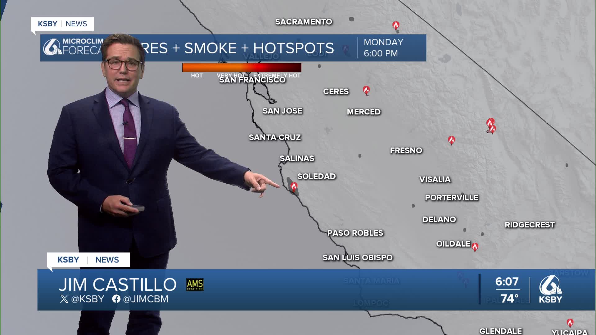


Happy Monday, Central Coast, from Meteorologist Jim Castillo
A rare August cooling trend this week with below-average temperatures in all areas by Wednesday
A persistent cooling pattern will bring below-normal temperatures to San Luis Obispo and Santa Barbara Counties through the weekend. After an extended period of above-average August temperatures, the Central Coast is finally experiencing relief as an upper-level ridge of high pressure shifts eastward.
Gradual cooling each day through Thursday • Below-normal temperatures expected across both counties by Wednesday • Weekend temperatures will remain cooler than seasonal averages • A weak trough moving down the West Coast will maintain the cooling pattern
Thunderstorm Potential: The threat for thunderstorms remains low but present through midweek: • Wednesday: 10-15% chance for afternoon and evening thunderstorms across much of SLO and Santa Barbara Counties • Highest probability in northwestern San Luis Obispo County • Interior Santa Barbara County sees 30-50% chances Tuesday and Wednesday
Expect a more robust marine layer coverage this week, though mid- to upper-level clouds may occasionally disrupt formation. Southwest flow aloft will enhance onshore flow patterns, helping the marine layer push into the coastal valleys.
Mountain Areas: The Santa Lucia Mountains, Santa Ynez Mountains, and Los Padres National Forest areas within both counties will see a slim chance for convective activity, particularly on Wednesday as monsoonal moisture attempts to move into the region.
Weekend and Beyond: Weak upper-level troughing continues into the weekend, but forecast models show significant disagreement for Monday and beyond. The magnitude of onshore flow changes will be the key factor determining next week's maximum temperatures.
Wind advisories are not anticipated despite the increase in onshore flow expected through Thursday.


Have a great night, Central Coast!
-Jim
