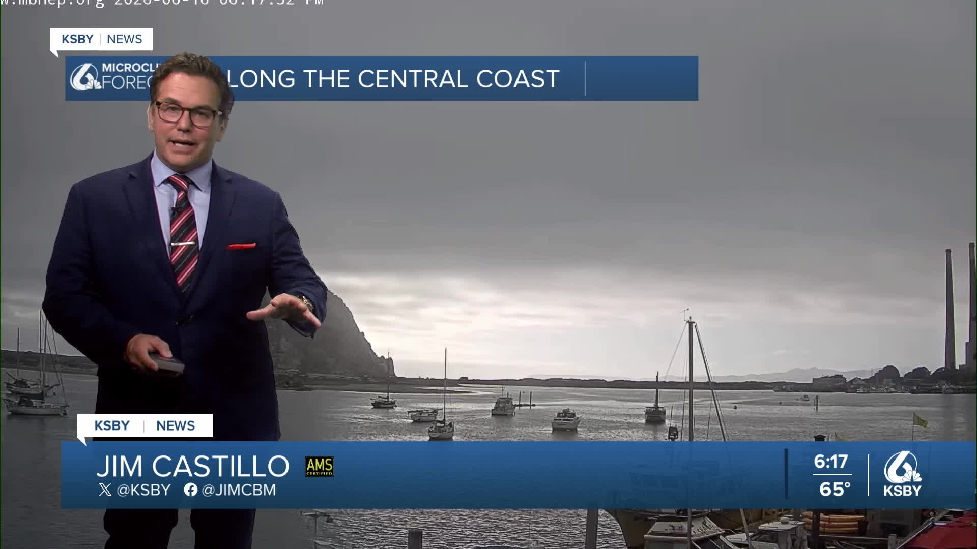


Good Tuesday evening, Central Coast!
Here's your Central Coast weather forecast for San Luis Obispo and Santa Barbara Counties:
Wednesday - Slight Cooling Begins. A weakening ridge will bring the first signs of change with onshore flow increasing and the marine layer deepening. Expect 3 to 6 degrees of cooling across both counties as more valleys wake up to low clouds. This marks the beginning of our transition into classic June Gloom conditions.
Thursday & Friday - Deep Marine Layer Takes Hold. A significant pattern shift brings cyclonic flow aloft and substantially stronger onshore flow. The marine layer will deepen dramatically, covering nearly all coastal areas and valleys with marine stratus. Strong onshore flow will push these clouds well inland.
Clearing will be slow and limited - some beach and nearshore areas may see little to no clearing at all. The deep marine layer may produce spotty drizzle, particularly in coastal and offshore areas during morning hours.
Weekend - Peak June Gloom Saturday represents the height of our marine layer event. Broad troughing over California will maintain a deep marine layer and strong onshore flow, especially affecting the eastern portions of both counties. Low clouds and fog will blanket the coast and all valleys, likely extending into the mountain passes of the Santa Lucia and Santa Ynez ranges.
Weekend Temperatures:
Beaches: 60s
Coastal Valleys 70s
North County 70s Friday and Saturday
Sunday-Monday Recovery: The trough begins weakening Sunday, reducing onshore flow intensity. Morning low clouds will become less extensive, leading to gradual warming on Sunday and more significant warming on Monday as the marine influence subsides.
Next Week's Heat Potential: Midweek indicators show a strong upper-level high-pressure system building into the region. This could bring well-above-normal temperatures to valleys and inland areas of both San Luis Obispo and Santa Barbara Counties. Continued onshore flow will help moderate coastal temperatures, but inland valleys could see significant heat impacts toward the second half of next week.
With the New Moon, KING TIDES are causing issues down in Los Angeles County with some coastal flooding during the evening high tide. A Beach Hazard Statement remains in effect along the Santa Barbara County coast with a high risk for dangerous rip currents.


Have a great night, Central Coast!
-Jim
