



Good Monday evening from Meteorologist Jim Castillo
Central Coast Weather Outlook - San Luis Obispo & Santa Barbara Counties
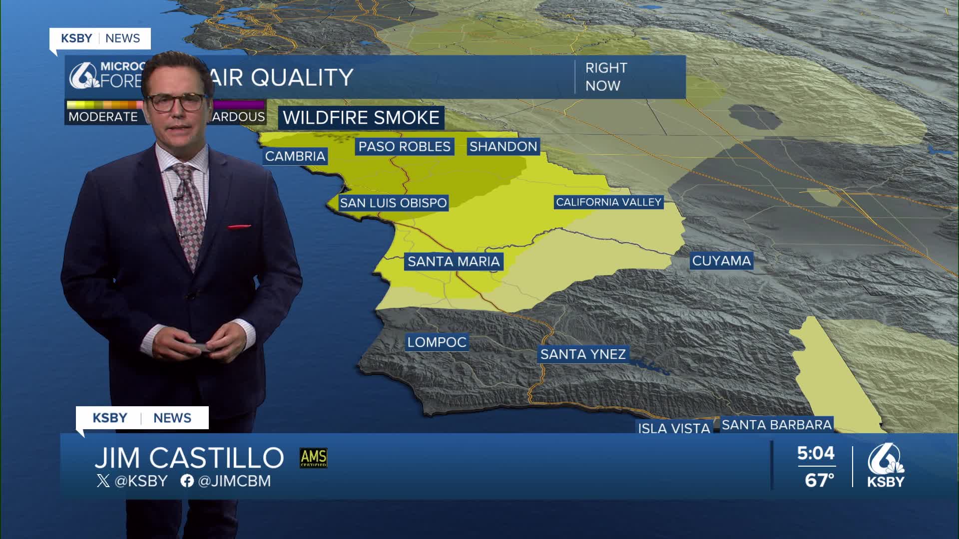
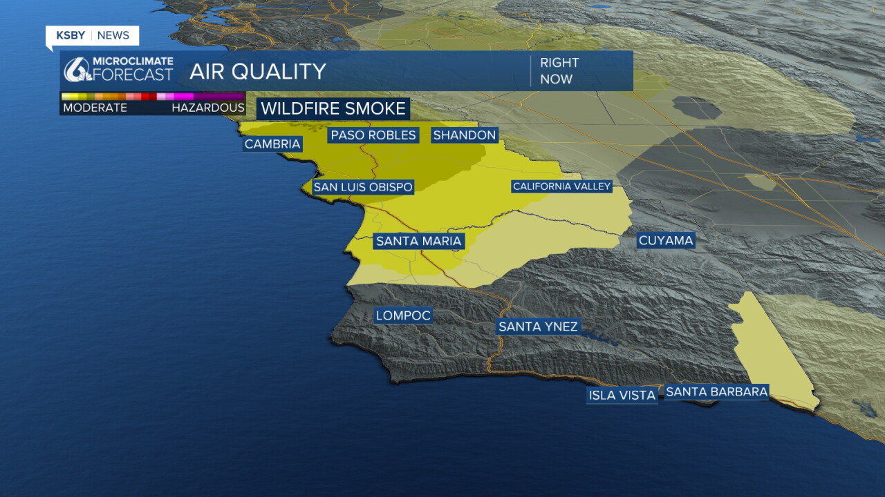
Through Friday: Stagnant Pattern Continues with air quality issues from wildfire smoke in our skies
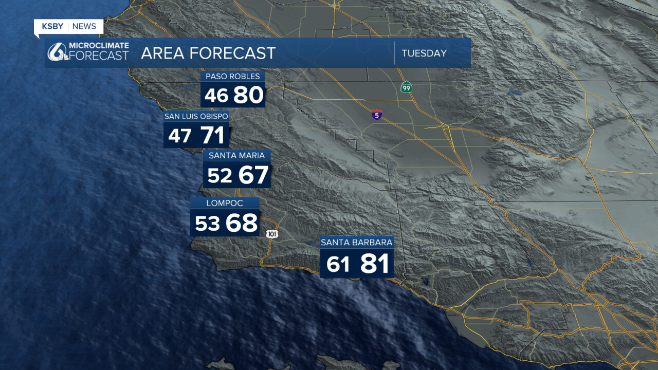
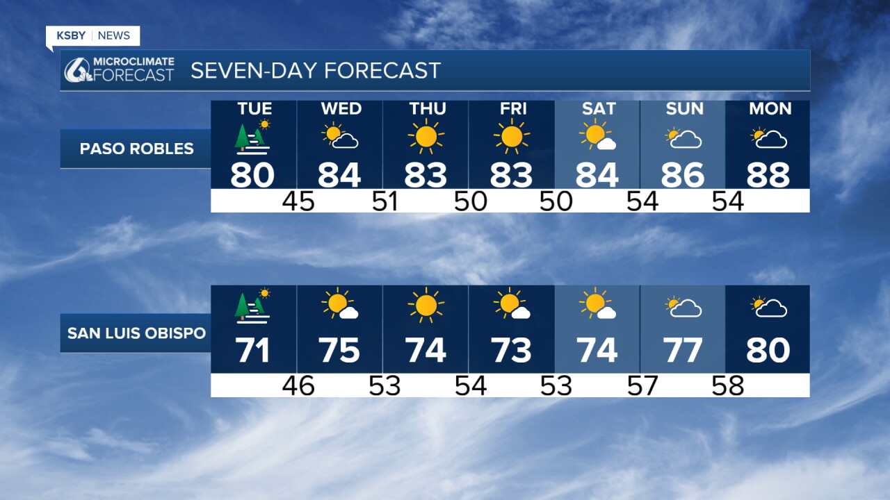
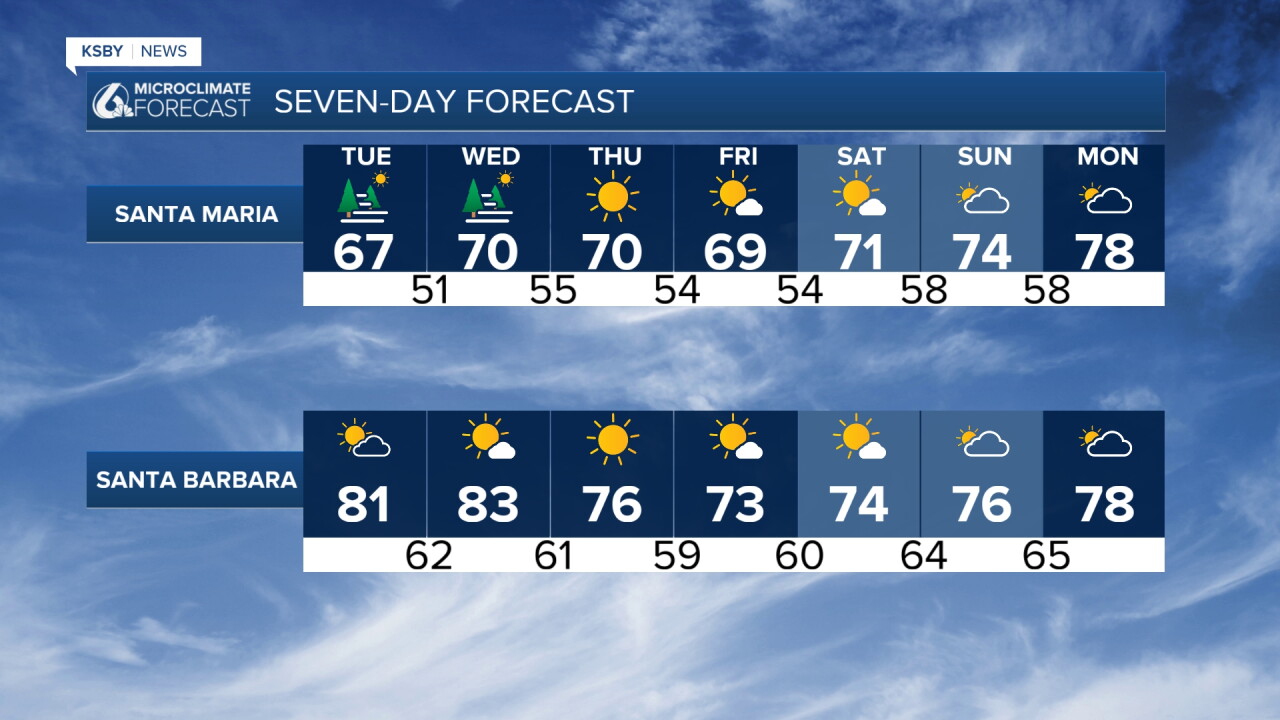
A persistent weather pattern will dominate through Friday, keeping temperatures below normal across San Luis Obispo and Santa Barbara Counties. Multiple large troughs of low pressure will maintain this cooler regime, though "below normal" for late August still means warm conditions - just not the scorching heat experienced last week.
Marine Layer & Coastal Conditions
A deep marine layer will persist through the week, likely deepening further Tuesday as the west coast trough moves south. Morning drizzle is possible in scattered locations, particularly near any of our Central Coast foothills including areas around the Santa Lucia Mountains. Solid overnight and morning low clouds are most probable along the San Luis Obispo County coast, while Santa Barbara County's warmer ocean temperatures (still in the 70s).
Sundowner Wind Concerns
Moderate Sundowner winds will continue affecting southwest Santa Barbara County each evening, particularly areas near the Santa Ynez Mountains. Tonight's winds should stay just below advisory levels, but Tuesday and Wednesday nights are likely to prompt Wind Advisories as offshore flow intensifies through mountain gaps and canyons.
Labor Day Weekend: Multiple Scenarios
The holiday weekend presents significant uncertainty with three possible outcomes ranging from benign conditions to impactful weather. A tropical system currently near Baja California is expected to develop into Hurricane Marie by Wednesday or Thursday, then track northwest through Saturday. We may have a rain chance Sunday into Monday. Stay tuned
Coastal Impacts Expected
Regardless of the storm's exact track, some coastal impacts are likely. South-facing swells will build through Tuesday, combining with existing energy from Hurricane Karina. Evening high tides near 7 feet by Monday will create high surf conditions and potential for some coastal flooding on south-facing beaches.
Have a great night, Central Coast!
-Jim
