

Happy Wednesday evening, Central Coast!
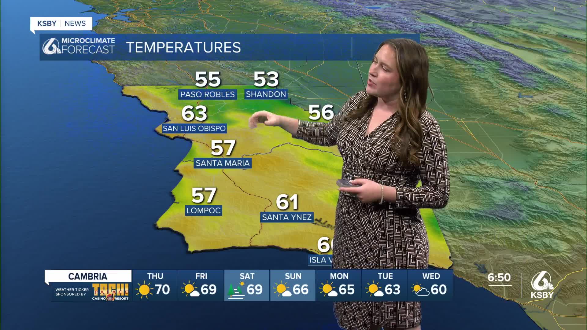
It was a hot one across the region with highs climbing well above normal for this time of the year. Here is a look at the high temps across the region for Wednesday afternoon.
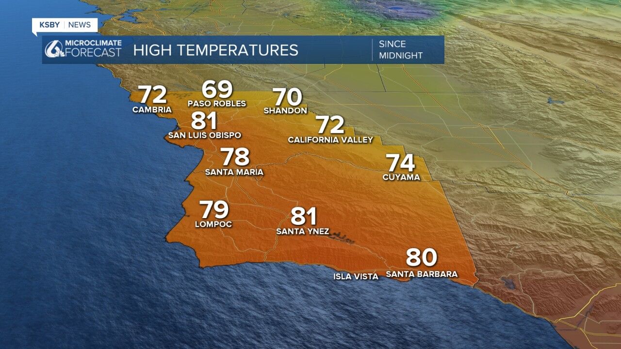
For a little bit of context, those temperatures are well above normal for this time of the year. Most spots average the mid 60s for this time of the year.
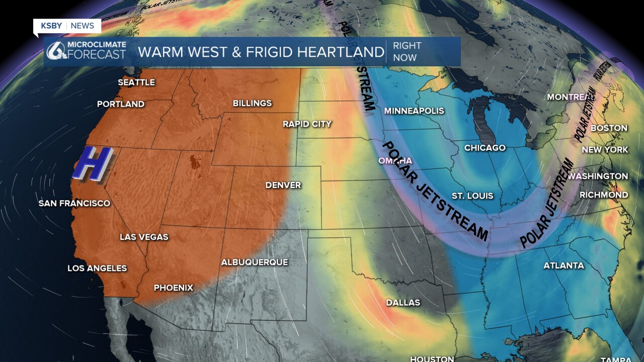
All of this warm weather is due to a huge high-pressure system sitting in Northern California. For us, that is bringing the offshore winds, abundant sunshine and limited marine influence. All the ingredients we need for a warm pattern.
It is just one side of the forecast, though; the East Coast and much of the heartland is facing polar air as it plunges south. Significant snow, ice, and frigid temperatures are expected through the next few days.
That high pressure will stay in place for Thursday. More warm temps are on the way!

Into the weekend, we will see a small cooldown as the high pressure begins to degrade, and the offshore winds will weaken slightly.

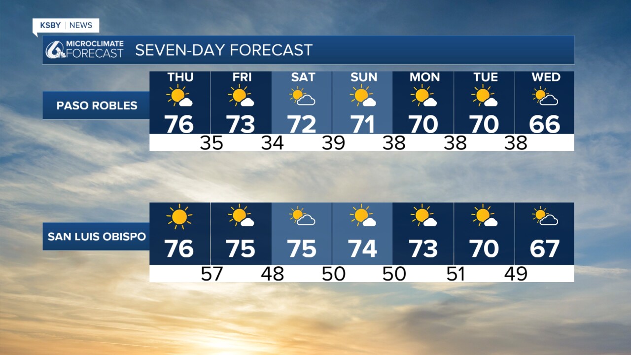
Into farther extended forecast, we will see some more cooling that will bring us back down to normal for this time of the year. By the end of next week, there is the chance for a small system to make its way onto the Central Coast. Right now the accumulations look low with no major concerns but I will keep a close eye on it as it gets closer and bring you all the latest on air and online.

Have a wonderful evening, Central Coast!
-Vivian
