

Happy Monday, Central Coast!
The drop in temperatures we started seeing last Tuesday will continue into the work week. This morning, our beaches, coastal valleys, and yes, even the interior valleys saw some marine layer cloud coverage, which cleared out by the afternoon. We told you this could happen in areas like Paso Robles last week! Take a look at the temperatures across our region as of 4 p.m.

We are seeing temperatures starting from the low 60s in Cambria to the upper 80s in Cuyama. A low-pressure system approaching Northern California is the cause behind this drop in temperatures.
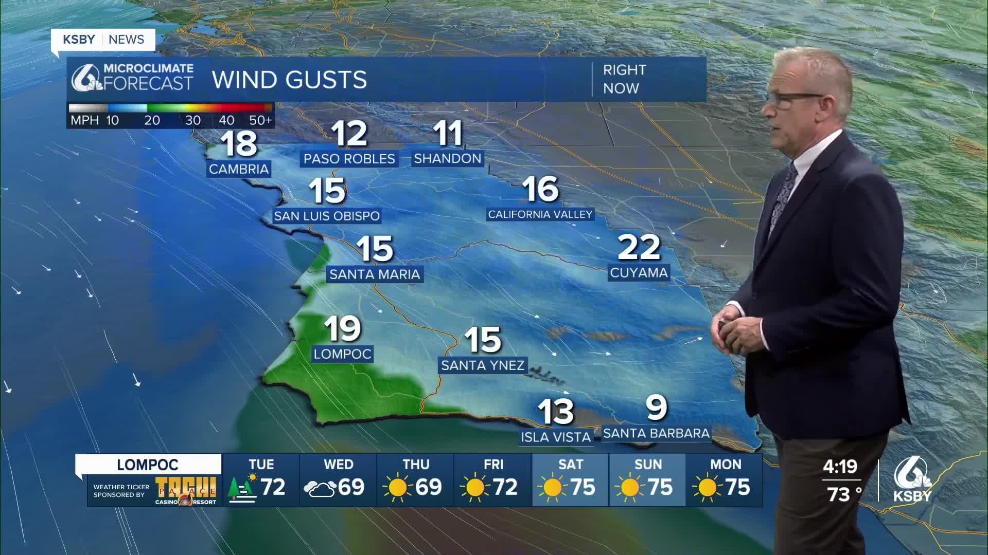
There is also a wind advisory still in effect for Santa Barbara County that is set to expire at 5 p.m. Wind gusts up to 45 mph are expected. These winds could cause tree limbs to be blown down, which can lead to power outages.

Tuesday morning will start a lot like today. Patchy fog before noon, quickly giving way to clear skies by the middle of the day. Some light winds are to be expected. Temperatures will range from the low 70s in San Luis Obispo to the low 80s in Paso Robles. Again, temperatures across the central coast will be below normal for this time of year.

There's a chance we could see some patchy drizzle on Wednesday morning and then a slight uptick in temperatures this weekend. Take a look at your seven-day forecast!


Have a wonderful evening!
