

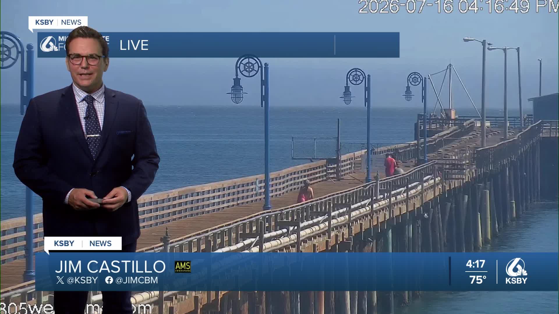


Good Thursday evening, Central Coast!
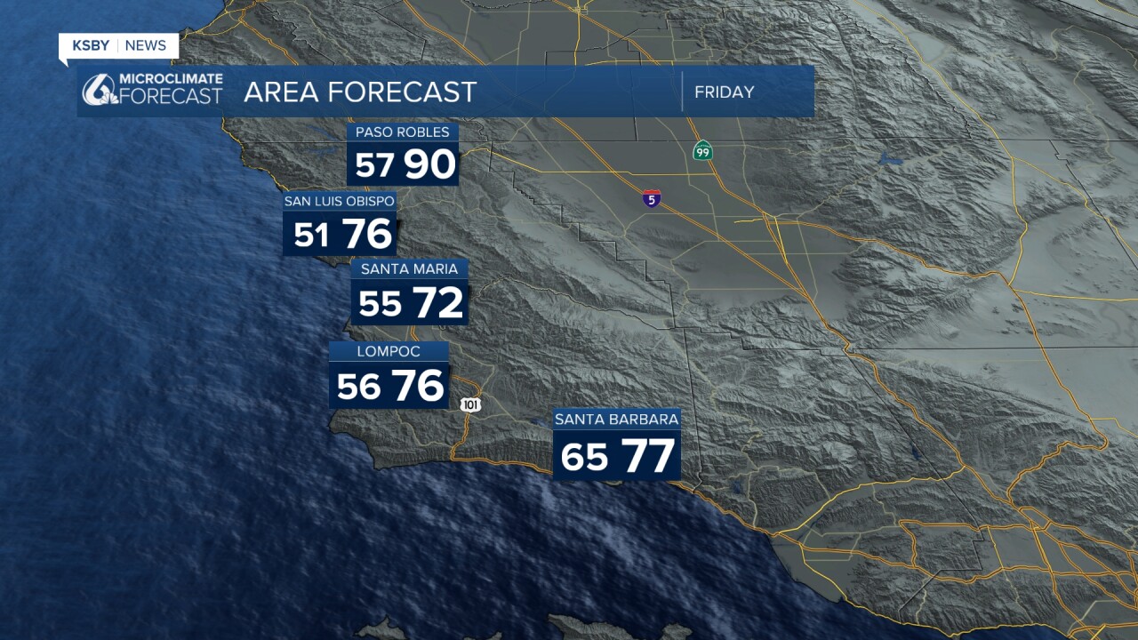
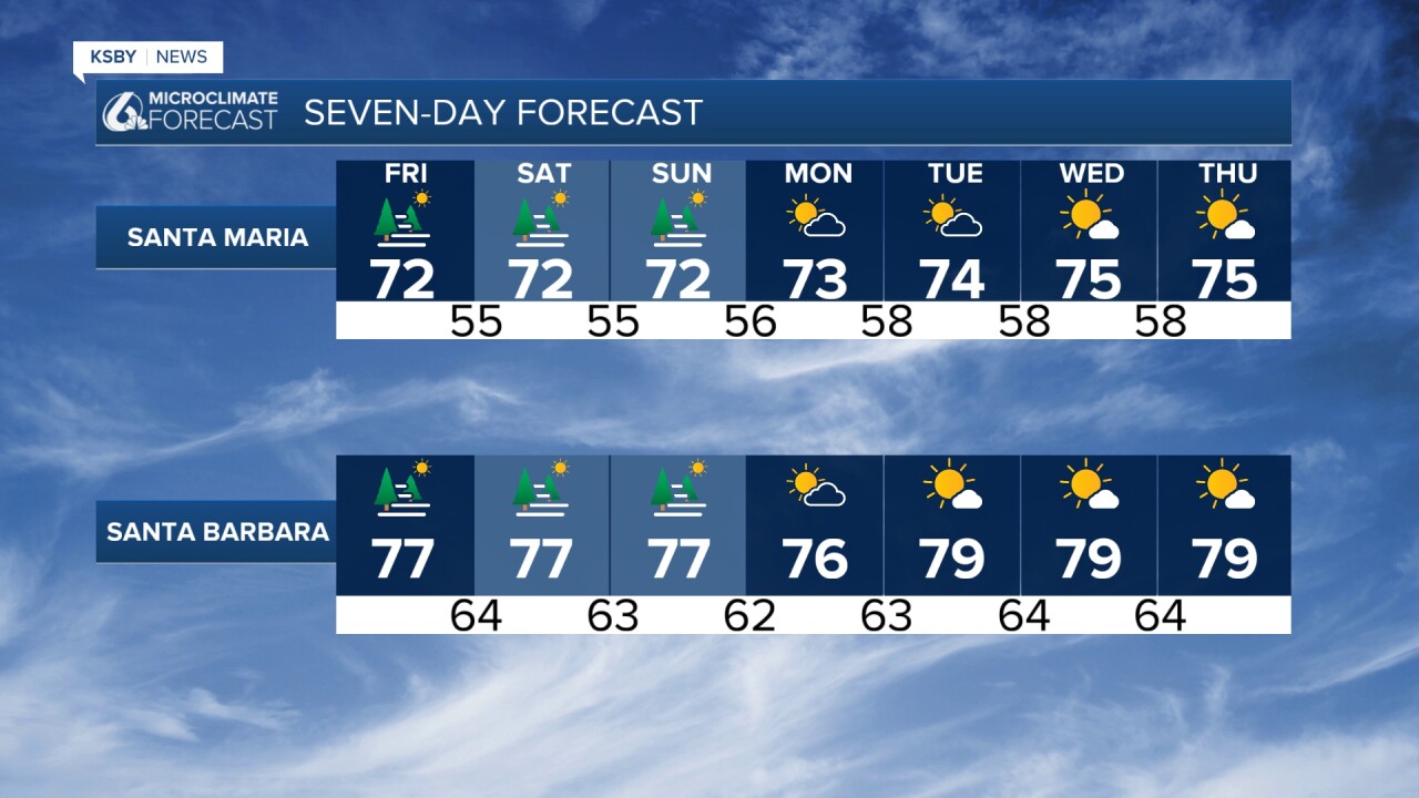
FRIDAY COOLING TREND • Significant temperature drop of 5-10 degrees expected Friday • Pacific Northwest trough developing, strengthening our onshore wind flow • Most areas reaching near-normal temperatures • Far interior valleys still hitting the 90s • Increasing morning marine layer and fog along the coast
WEEKEND OUTLOOK • Temperatures at or slightly below seasonal averages • Tropical Storm Elida remnants tracking north-northwest • Rising humidity levels as precipitable water values/higher level moisture is increasing • 5-10% chance of isolated showers or thunderstorms by Sunday in the Los Padres National Forest
EXTENDED FORECAST (MONDAY-THURSDAY) • Monday through Tuesday: Temperatures remain steady • Wednesday onward: High-pressure system strengthening • Weakening onshore flow mid-week triggers warming trend
Below: All Heat Advisories and Extreme Heat Warnings end at 8 pm this evening. Cooler for Friday into the weekend and dry weather.


Below: The current suft heights along the Central and South Coast. 5 to 8' on average.

Below: The sea surface temperatures on Thursday 7/16/26

Below: Our reservoir levels and the change from a week ago.


Have a great night, Central Coast!
-Jim
