

Happy Sunday, Central Coast!
I hope you've enjoyed this warm weekend! We're kicking off a cooling trend on Monday. Here is a look at some of the temperatures we can expect tomorrow.

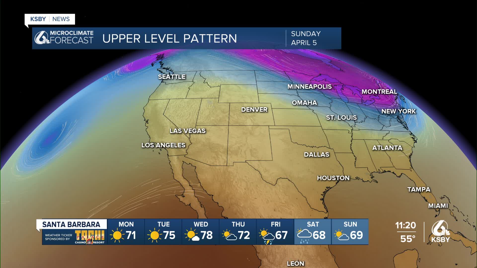
A closed low-pressure system will push the ridge of high pressure that has been keeping us warm away. In addition to cooling us down, it will also bring the chance of rain to our region starting Thursday through Saturday.

Depending on your location, the timing of this cool-down will vary. Areas like Santa Barbara and San Luis Obispo will seem like they're warming up on Tuesday and Wednesday. This is because the ridge of high pressure will peak, then it will be pushed out by the upper low.

Don't be fooled by this temporary uptick in temperatures; by Friday and Saturday, everyone will begin to feel the cool down that started Monday. There exists the potential for some thunderstorms as well.

Enjoy the rest of your evening, Central Coast!
—Leslie Molina
