

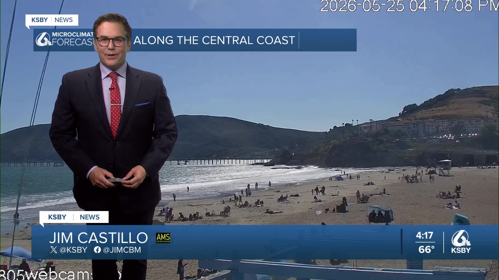


Good Monday evening, Central Coast!
A large upper-level low-pressure system currently around Washington State will track southward into central California this week, bringing significant changes to our Central Coast weather pattern.
TUESDAY THROUGH THURSDAY: COOL AND WINDY
The low-pressure center will settle over the Central Valley Tuesday night through Thursday, dropping temperatures by5 to 10 degrees below normal across San Luis Obispo and Santa Barbara Counties. Expect daytime highs in the low 60s along the coast to the low 70s inland into north San Luis Opbipo county, with Santa Barbara's interior valleys reaching the mid-70s Tuesday before cooling further on Wednesday.
Strong northwesterly winds will develop as the system approaches. Wind Advisories are in effect Tuesday afternoon and evening for coastal areas and southwestern Santa Barbara County. The Santa Lucia Mountains and Santa Ynez Mountains will experience particularly gusty conditions as cold air flows over the terrain.
MARINE LAYER AND DRIZZLE POTENTIAL
A deepening marine layer combined with cold air aloft will create conditions favorable for morning low clouds and patchy drizzle, especially along the south-facing foothills of both counties. The Los Padres National Forest areas in San Luis Obispo and Santa Barbara Counties may see periods of light precipitation.
THUNDERSTORM CHANCES
Wednesday and Thursday afternoons bring a 15 percent chance of thunderstorms, so a slim chance but not zero chance, across the interior mountains and valleys of both counties. The Santa Lucia and Santa Ynez Mountains, along with Los Padres National Forest areas, have the highest potential for brief heavy downpours, gusty winds, and cloud-to-ground lightning.
WARMING TREND BEGINS FRIDAY
The low-pressure system moves eastward on Friday, allowing temperatures to rebound. A warming trend continues through early next week, with weekend highs returning to near-normal levels - low 70s at the coast to low 80s inland.
By Monday, expect temperatures to climb 5 to 10 degrees above normal, reaching the mid-70s along the coast and upper 80s in interior valleys. Offshore flow potential on Sunday will enhance the warming trend and reduce morning marine layer coverage across both San Luis Obispo and Santa Barbara Counties.
Below: An upper-level low drops into the Central Coast on Tuesday, bringing more clouds, areas of mist, and drizzle in the morning hours for some, and we see a drop in high temperatures. The wind also picks up later on Tuesday. A Wind Advisory has been issure from 2 pm Tuesday until 10 pm Tuesday for NW wind 15-25 with gusts to 40 mph for Cambria, to San Luis Obispo, Morro Bay, Los Osos, Avila Beach, Pismo Beach, Nipomo, Santa Maria, Orcutt, Vandenburg Village, Los Olivos, down to Goleta, the Santa Barbara County Central Coast beaches and the Santa Ynez Valley. A High Surf Advisory has been issued from 5 pm Tuesday until 5 pm on Wednesday. A Gale Warning is also in effect later Tuesday into Wednesday.

Below is the Wind Advisory for Tuesday 2 pm to 10 pm.

Below is the High Surf Advisory from 5 pm Tuesday until 5 pm on Wednesday for dangerous rip currents and wave heights of 8 to 12 feet.


Have a great night, Central Coast!
-Jim
