



Good Wednesday evening, Central Coast!
Here's the weather forecast for Santa Barbara and San Luis Obispo Counties, dust off the umbrellas with rain likely for many areas tonight on Thursday.
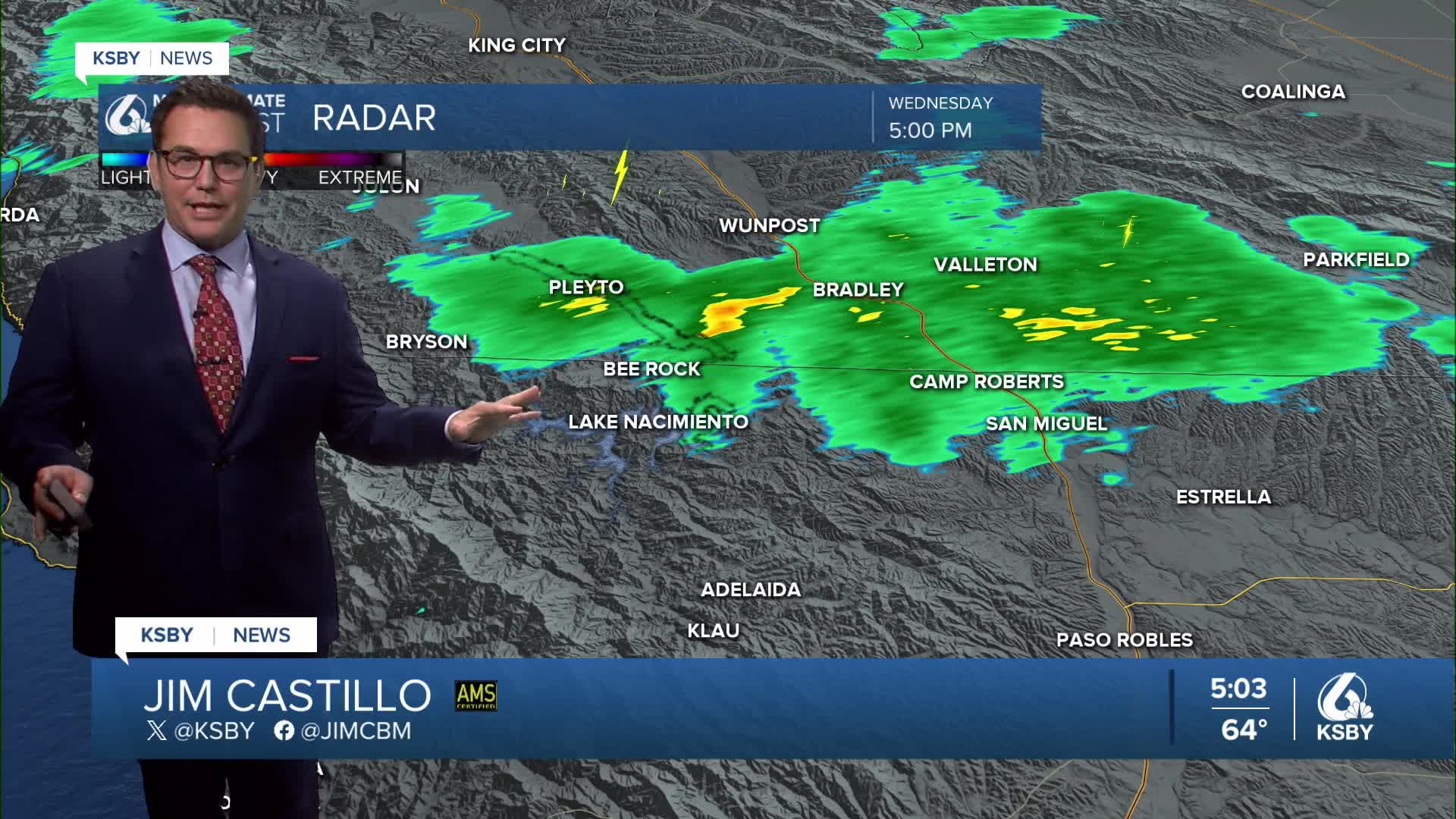
Below: The radar with rain in northern San Luis Obispo County from Lake Nacimiento and approaching Paso Robles.
Below: The radar with rain in Santa Barbara County in the Santa Ynez Valley to Cachuma Lake.
TONIGHT: A cold low-pressure system spinning over Northern California is creating unstable conditions across our region.
THURSDAY: Another piece of energy from this weather system rotates through, with computer models targeting the Central Coast. We'll see a slight uptick in moisture, but less atmospheric instability. North of Point Conception - expect rainfall amounts between three-tenths and four-tenths of an inch.
FRIDAY THROUGH SATURDAY: A warming and drying trend begins as the storm system moves into Nevada. Onshore ocean breezes will weaken, possibly shifting slightly offshore by Saturday. Temperatures will climb 3 to 6 degrees on Friday, with similar warming on Saturday across both counties.
EXTENDED OUTLOOK - SUNDAY THROUGH WEDNESDAY: High pressure builds along the West Coast, bringing neutral to slight offshore flow. The warmer inland valleys of both counties will see temperatures reach the low 90s on Sunday or Monday. Areas more than 5 to 10 miles inland, including cities like San Luis Obispo and Santa Maria, will see upper 70s to around 80, and that is above normal for late May.
Coastal areas will remain near normal with highs in the mid 60s to low 70s. Morning marine layer and low clouds are likely within 10 miles of the coast.


Enjoy the cool weather and areas of rain tonight into Thursday, Central Coast!
-Jim
