

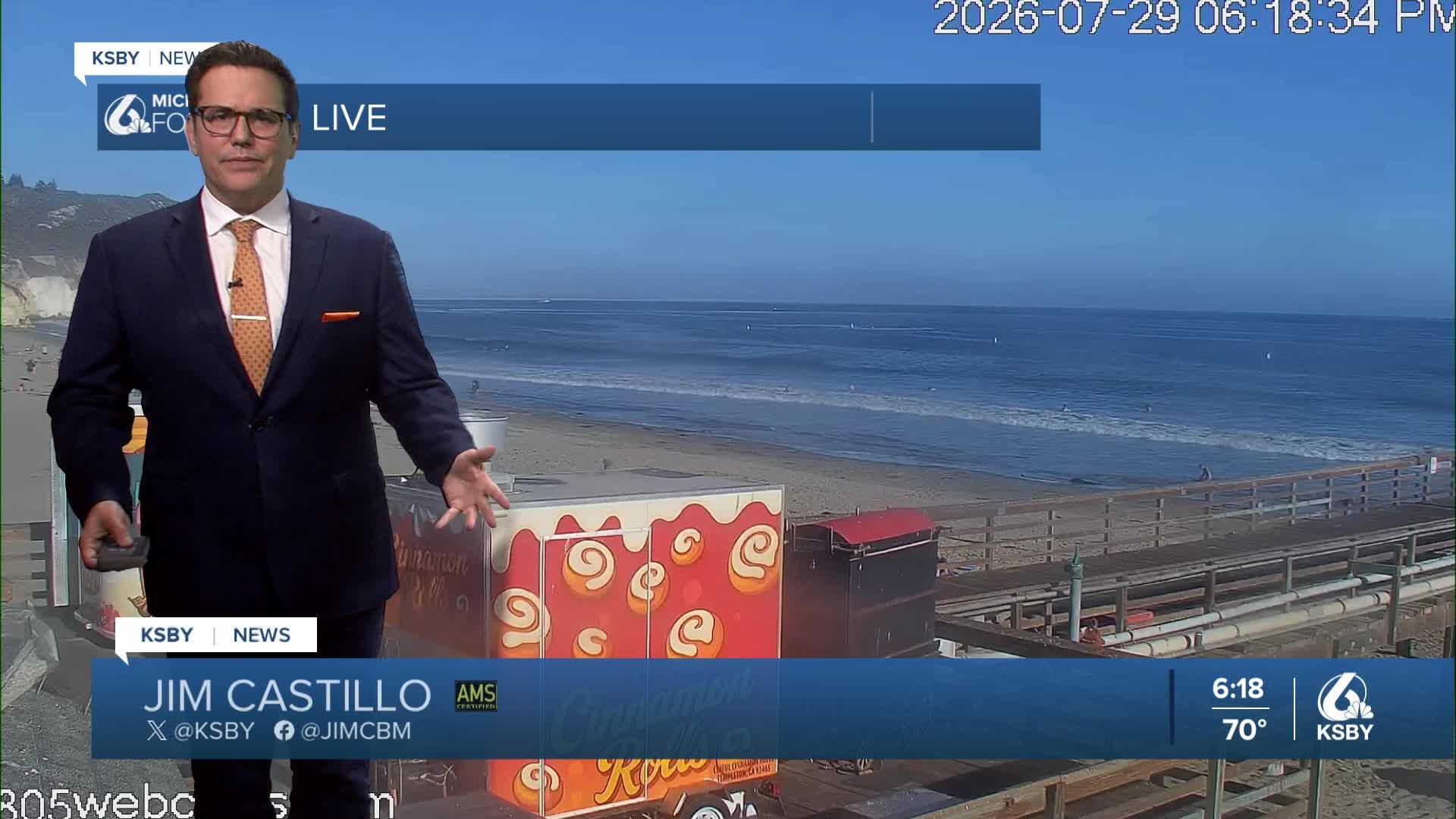


Good Wednesday evening, Central Coast, from Meteorologist Jim Castillo
Here is your forecast for San Luis Obispo & Santa Barbara Counties
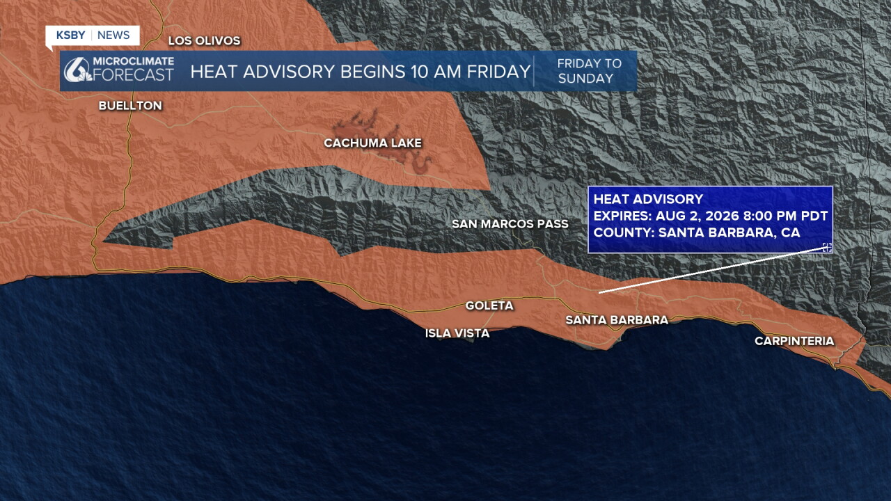
Friday and Saturday will likely be our hottest days. Temperatures will surge to dangerously hot levels Friday and Saturday afternoons as high pressure strengthens over Arizona and expands westward. Many areas will see temperatures climb around 10 degrees above normal, creating significant heat stress conditions.
Weather forecasting models remain consistent, showing 500mb heights rising dramatically over interior California deserts by Saturday, potentially reaching as far west as the coast.
Through Thursday, seasonably warm conditions continue. Friday and Saturday, heat builds with temperatures 8-12 degrees above normal.
Sunday, we can expect a nice cooling trend to begin, but temperatures remain near or slightly above normal next Week.
Overnight lows have remained cool and near normal in many areas, providing crucial relief from daytime heat. This pattern should continue, offering residents important recovery time during the hottest days.
DANGEROUS SURF CONDITIONS Large south swells from Tropical Cyclone Genevieve will create hazardous beach conditions through at least Saturday. Expect large waves and potentially deadly rip currents at area beaches. Exercise extreme caution near the water with the beach hazard statement continuing.




Have a great night, Central Coast!
-Jim
