



Good morning, Central Coast, and happy Friday!
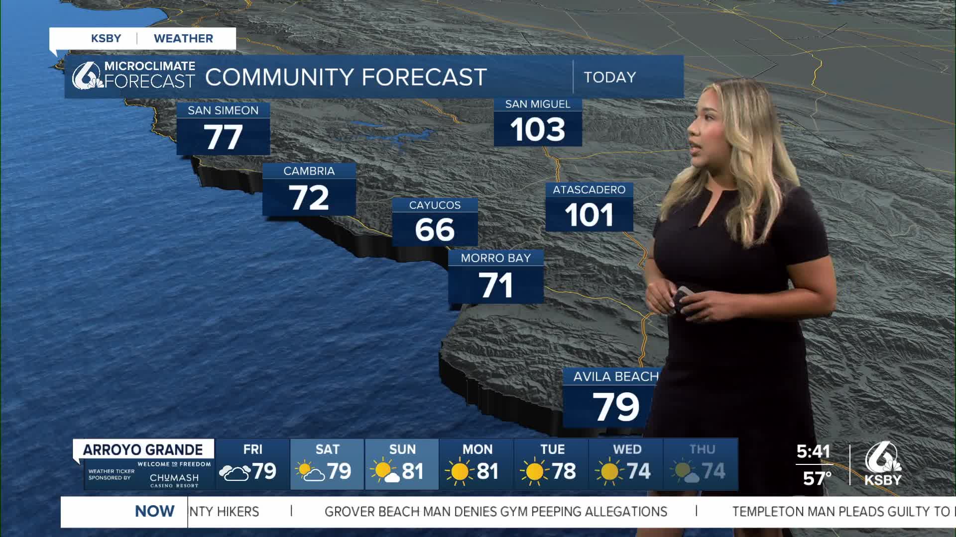
It has been a hot set of days across the Central Coast, and as we head into the weekend, there is more of that same pattern. High heat in the interiors is meeting with cooler coastal conditions.
This morning is kicking off with cloud cover for most of the coasts. This will clear out quickly, though with sunny skies for all by mid-morning.
Here is a look at the temps we can expect today across the region.

Due to those hot temps in the interiors, we have a high heat advisory still in place for the interior valleys of both San Luis Obispo and Santa Barbara counties through 8 p.m. Monday night.

If you are trying to escape the heat by the beaches, be aware. There is a beach hazard statement for all of our western beaches through Sunday evening. Rip currents are expected; take caution.

Into the weekend, more heat is expected.

Next week the offshore winds will slow slightly, and we will see a small cooldown across the region. Temps will still stay well above normal for this time of the year, but the slight cooldown will still be welcome!


Have a wonderful day and weekend ahead, Central Coast!
-Vivian
