

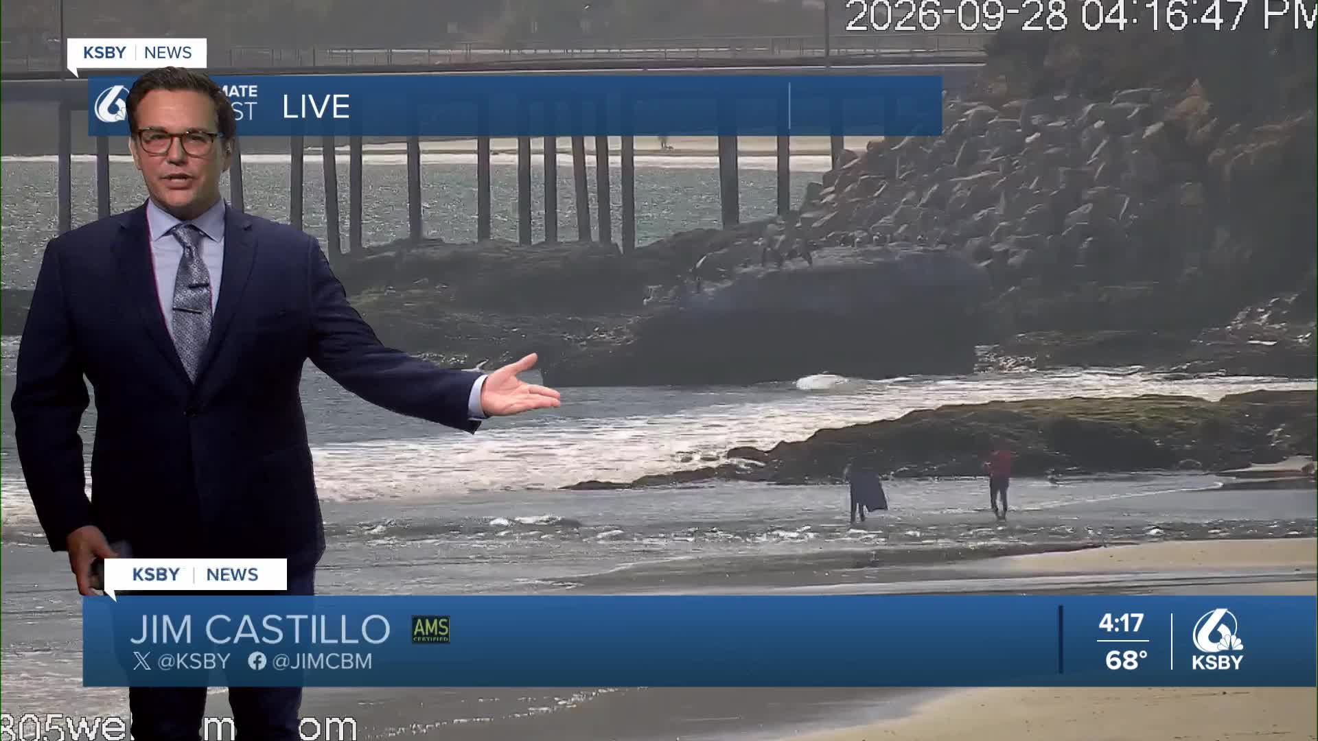


Good Monday evening from Meteorologist Jim Castillo
Here is your Central Coast Weather forecast for San Luis Obispo & Santa Barbara Counties
An upper-level low pressure system continues moving through California on Monday, expected to reach Arizona by Wednesday. This system is driving increased northerly winds across the Santa Barbara County mountains, with gusts reaching approximately 45 mph tonight through Tuesday morning with a wind advisory until 6 am.
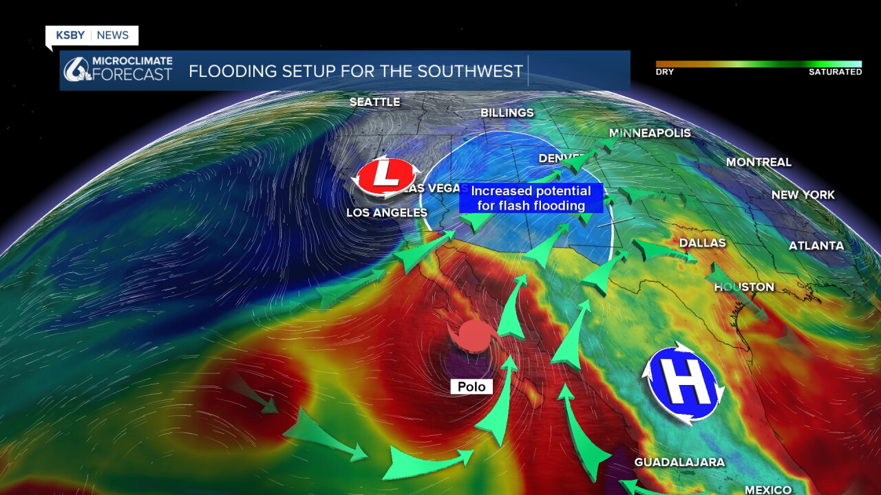
Beach conditions remain elevated through Tuesday due to tropical cyclone activity well south of our region. Expect high surf and increased rip current risks along the coastline .
Surface pressure will build over the Great Basin following the departing upper low, ushering in the season's first offshore wind event. This will be a relatively mild offshore pattern with:
• Northeast winds primarily confined to the Santa Lucia Mountains, Santa Ynez Mountains, and Los Padres National Forest areas
• Wind speeds generally staying below 35 mph
• Significantly dropping humidity levels across mountain areas, with noticeable decreases even at lower elevations
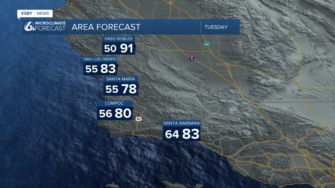
• Temperature increases of 5 degrees along the coast and 10 or more degrees inland
Wednesday-Thursday Transition
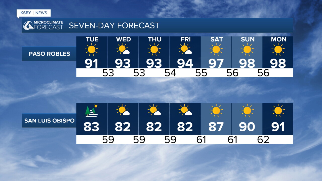
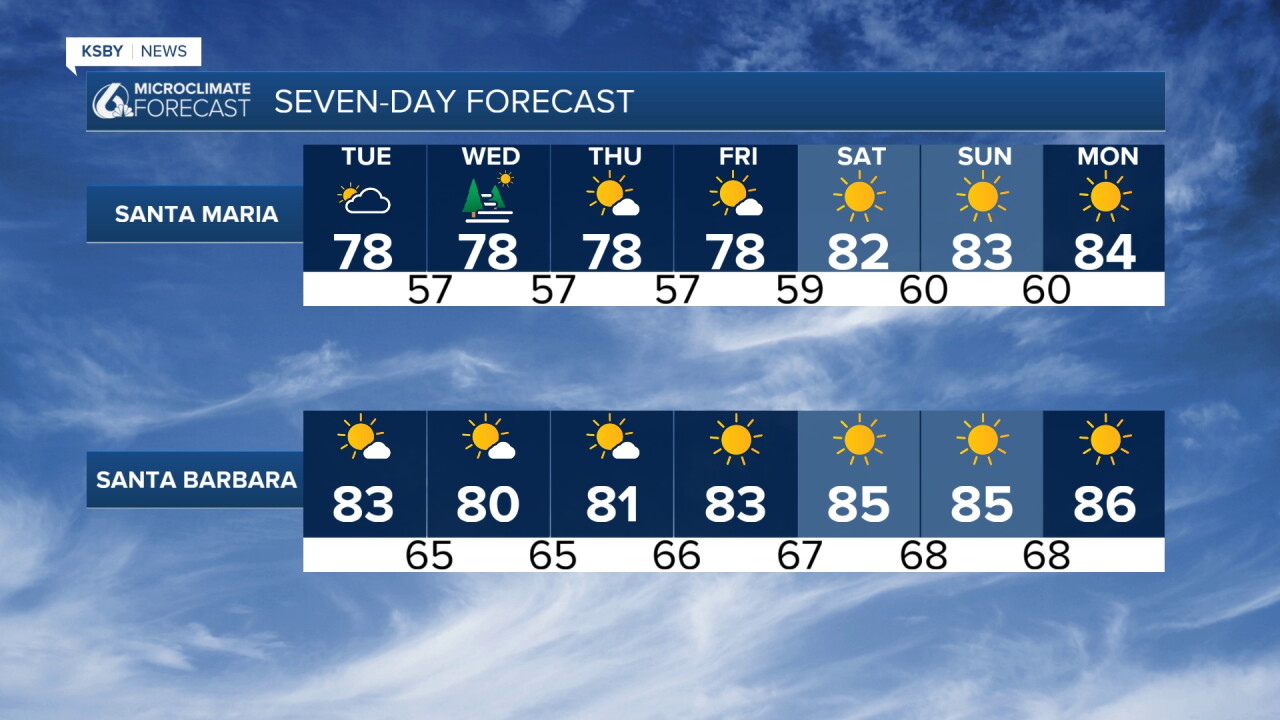
A brief cooling trend is forecast as pressure gradients shift back to light onshore flow. Temperatures will remain 2-5 degrees above normal, but the return of marine influence should boost humidity levels by 15-30 percent, particularly near the coast.
Weekend Heat Wave Alert
Model consensus indicates a potentially dangerous heat wave developing Friday and continuing through next week. Key factors include:
• Strong high pressure aloft combined with increasing offshore gradients
• Warming trend beginning Friday, intensifying over the weekend
• Interior valleys potentially reaching 100+ under medium to high-end gradient scenarios
• Extended duration heat event lasting potentially through the entire following week
This heat wave poses significant health risks, particularly for vulnerable populations. The combination of high temperatures and offshore wind patterns will create dangerously hot conditions across both San Luis Obispo and Santa Barbara Counties.
Have a great night, Central Coast!
-Jim
