

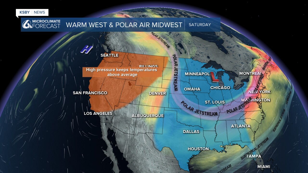
High pressure aloft remains in full control over the entire West Coast, and this weather pattern is expected to continue at least until midweek. Closer to the surface, the offshore wind is moderate to strong through Sunday with well above average highs for this time of year. Santa Barbara and San Luis Obispo usually see highs in the mid 60s for mid January.
High temperatures will still be well above the normal mid 60s for this time of year.
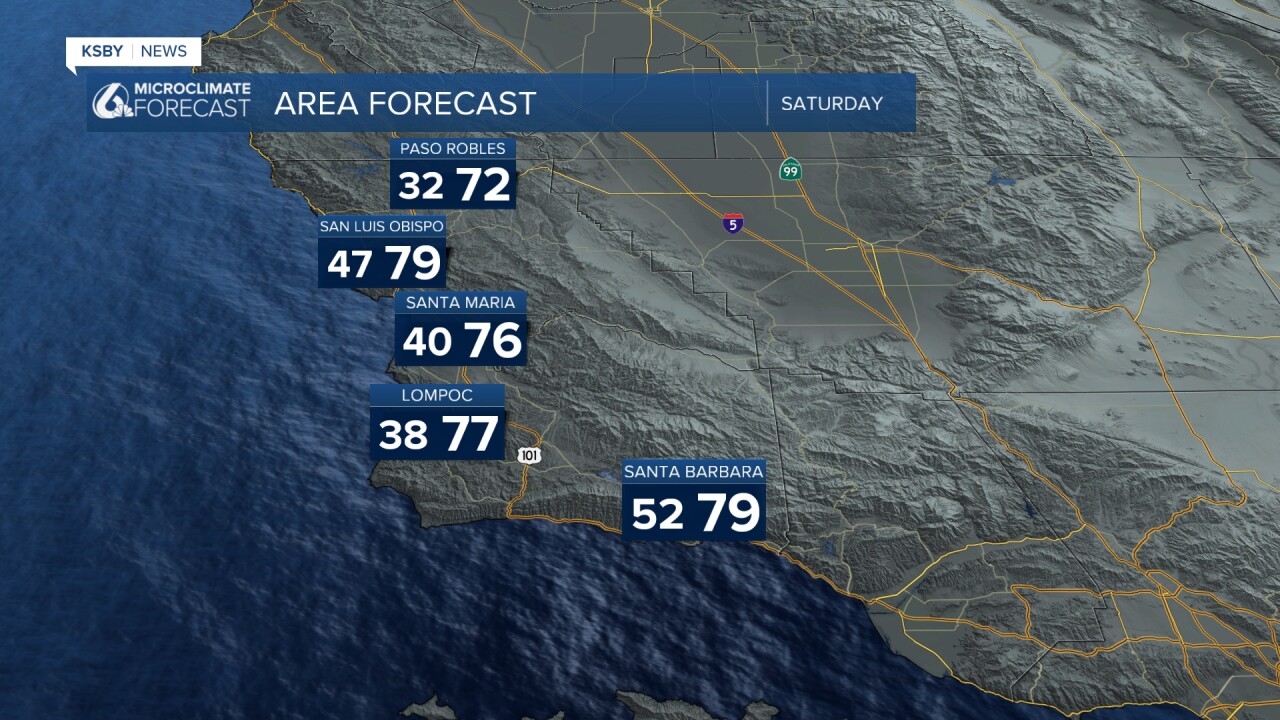
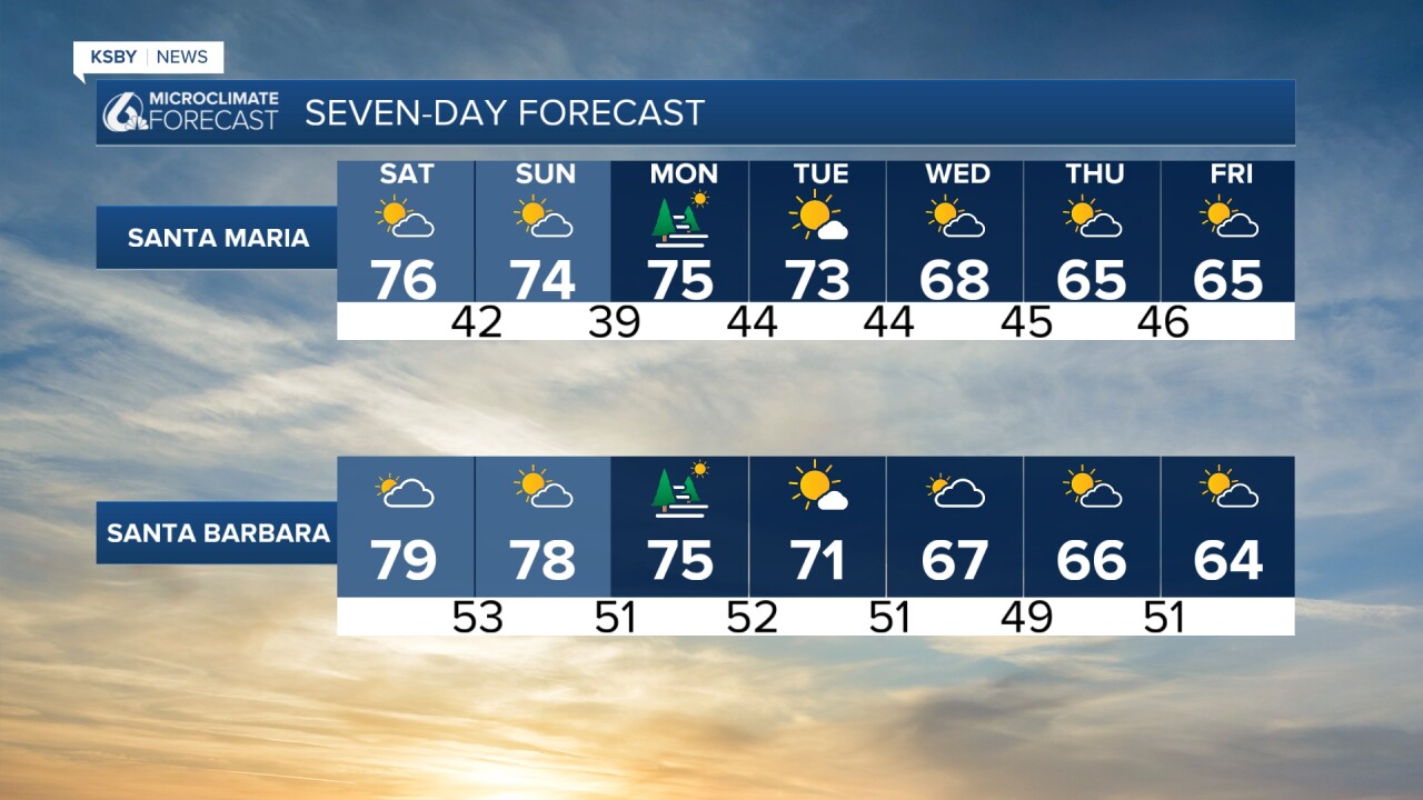
Well above average highs will continue through the weekend for inland areas, and some of the coastal areas will see low clouds and fog holding the highs down into the 60s.
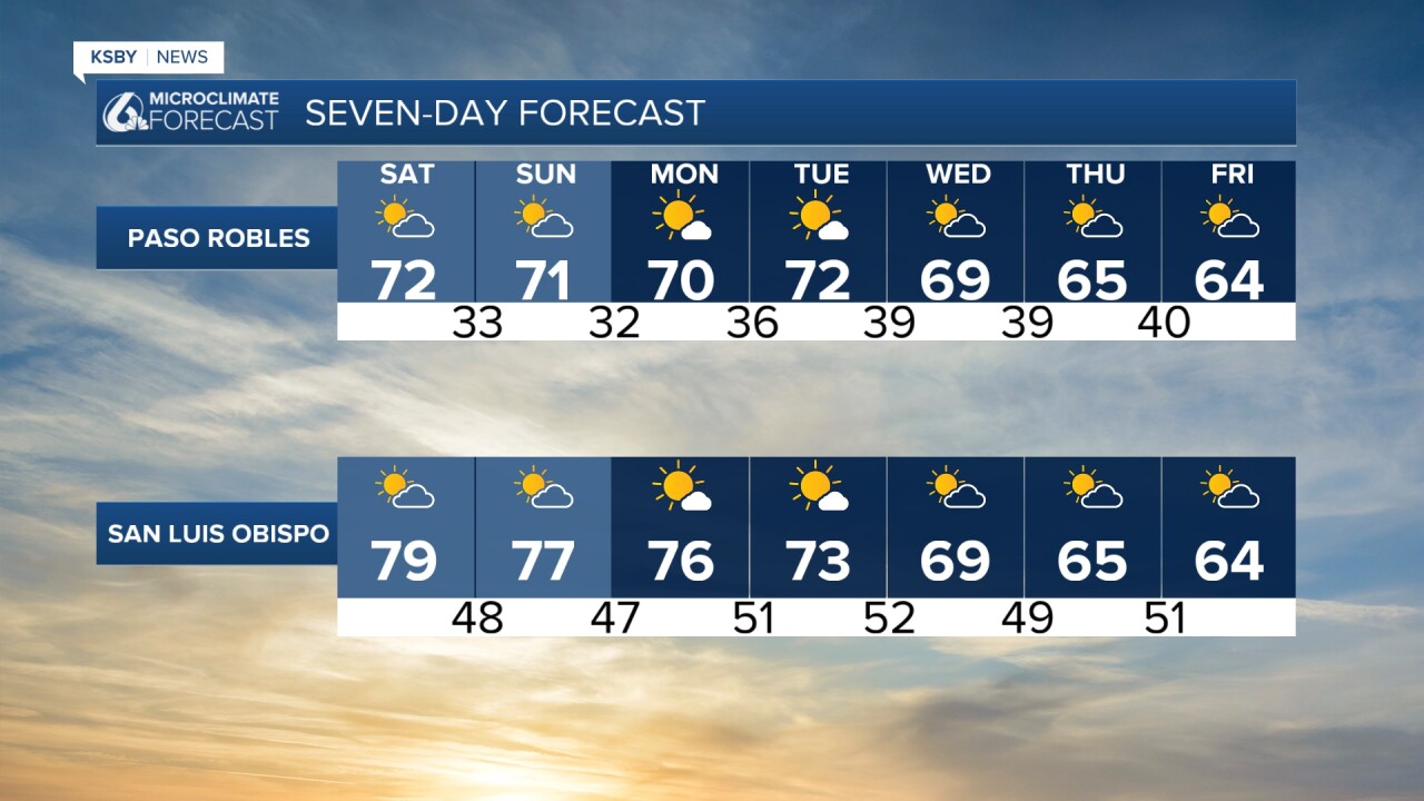
Most of our weather models suggest the cooling really begins on Wednesday when our strong high pressure aloft finally breaks down and the onshore wind flow strengthens. Chances for any rain continue to decrease for late next week.
