

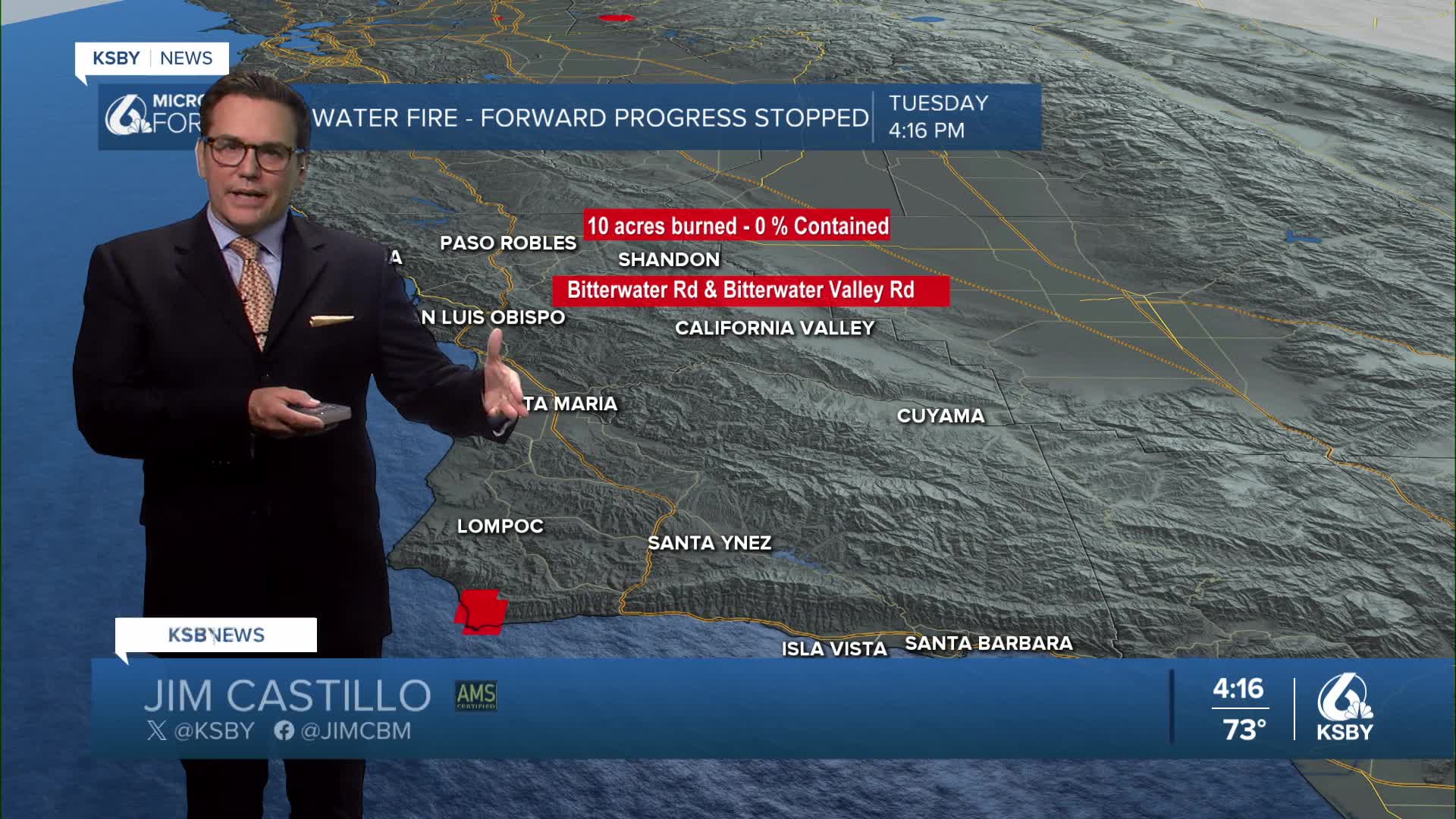


Good Tuesday evening, Central Coast, from Meteorologist Jim Castillo
Here's your weather forecast for San Luis Obispo and Santa Barbara Counties
Marine Layer and Coastal Conditions: The marine layer will hover near 1,000 feet throughout the forecast period, bringing night through morning low clouds and fog to coastal areas each day. Nearshore communities may experience slower afternoon clearing due to persistent strong onshore flow moving eastward from the Pacific.
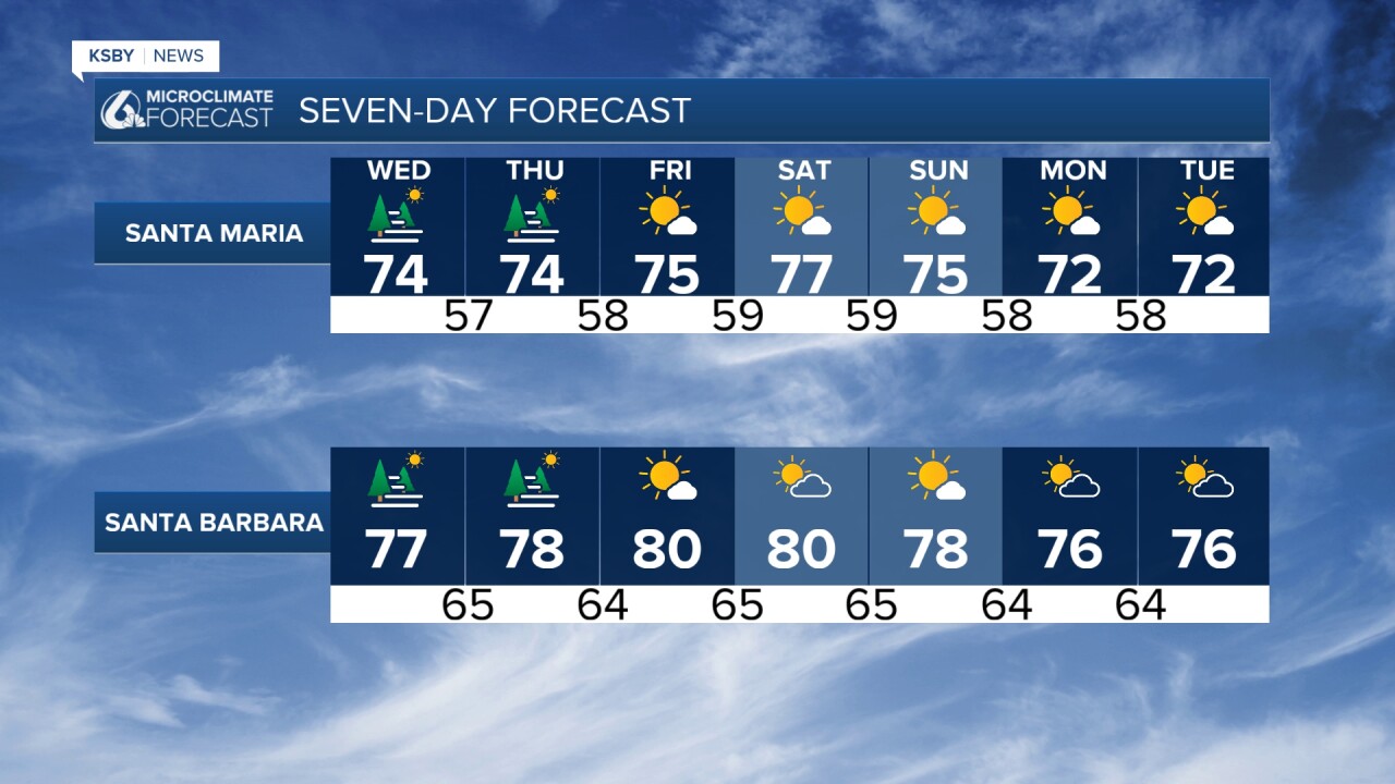
Temperature Outlook: High temperatures will remain close to normal across coastal and coastal valley locations. For August standards, "normal" temperatures still translate to: • Coastal valleys: Near 80 degrees • Interior valleys: 90s to near 100 degrees • Lower mountain elevations and far interior sections: Hot conditions as onshore flow effects diminish
The upper-level high-pressure system shifts westward Friday, with heights building through Saturday. This pattern will raise maximum temperatures by only 1-2 degrees, but Heat Advisories and Warnings have been extended through Saturday. Valley areas will likely see additional heat advisories issued as the weekend approaches. Coastal areas may remain largely exempt from heat advisories and warnings as long as the marine layer persists.
Extended Pattern Through the Week: Onshore flow continues, maintaining the night through morning low cloud pattern. Very high atmospheric heights will compress the marine layer below 1,000 feet, with patchy dense fog possible near the coast. Valley locations will remain mostly clear.
Precipitation Chances: Monsoon moisture remains absent from the region, with little to no risk for showers or thunderstorms.
Fire Weather Concerns: Hot, dry, and locally breezy conditions will sustain high fire danger inland and above the marine layer through the week. Exercise extreme caution with potential ignition sources including dragging chains, lawn equipment, and campfires in affected areas.
Early Next Week Transition: Beginning Sunday and continuing into Monday, the upper-level high weakens while onshore flow strengthens. This pattern change will bring temperature relief cooling a few degrees.


Have a great night, Central Coast!
-Jim
