


Good Monday evening, Central Coast!
CENTRAL COAST WEATHER UPDATE
Yesterday, some areas on the coast stayed foggy and very cool in the 50s and 60s. San Luis Obispo had a record high on Sunday of 86 degrees, then Monday only saw 68 for the high, which is normal for the end of March. Paso Robles tied the record high on Sunday of 89 degrees, then Monday cooled to 78.
Good news for rain lovers! Some rain showers are expected on Tuesday. Much cooler and more comfortable temperatures will continue. After Sunday's warm spell, we're looking at refreshing temperatures closer to normal through Thursday.
TONIGHT THROUGH THURSDAY: Expect mostly cloudy skies with a ton of high clouds streaming in from the west. Breezy onshore winds will keep things feeling fresh.
We will have shower chances on Tuesday and near-average temperatures with highs in the 60s!
TUESDAY'S LIGHT RAIN: A weak system will bring light showers on Tuesday and Tuesday night. Don't expect a soaker - we're looking at generally 0.10 inch or less, with some spots possibly seeing up to 0.20 inch. Perfect for giving our drought-stressed landscape a gentle drink!
Wednesday and Thursday look mostly dry with partly cloudy skies, though a few lingering showers are possible along the coast Wednesday morning.
WEEKEND HEADS UP: Friday through Sunday will flip the script completely - expect strong offshore winds, significant warming, and bone-dry conditions. Those northeast winds could reach advisory levels, so stay tuned for updates!
Bottom line: Enjoy this cooler, more seasonal weather pattern through Thursday before the heat returns for the weekend with highs back in the 80s inland.
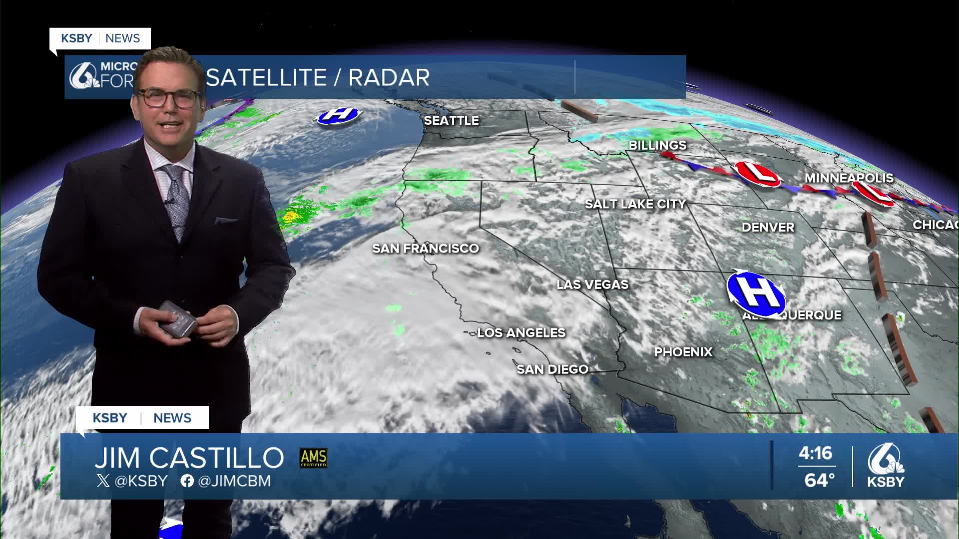
Shower chances ramp up by Tuesday morning. Below is a snapshot of the future clouds and radar at 7 am Tuesday.

Scattered showers on Tuesday will likely only add up to .10" of rain or less in most areas.


Below is a snapshot of Tuesday, March 31st. We are in blue with a weak west coast trough bringing cooler air, gusty winds, and scattered showers.

This weekend, a high-pressure ridge builds back over the Central Coast, bringing more well-above-average temperatures.


