

Good morning, Central Coast!
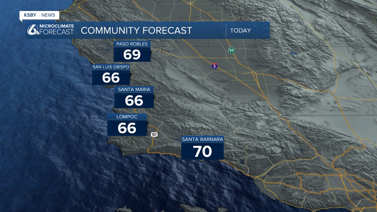
Monday kicked off the week on an unsettled note. Passing clouds, gusty winds, and a few very light showers crossed the region. Just as expected, those showers accumulated a few hundredths of an inch of rain for our Central Coast communities. Here is a look at some of those totals.

I know that these totals are so small they seem inconsequential, but every little bit helps!
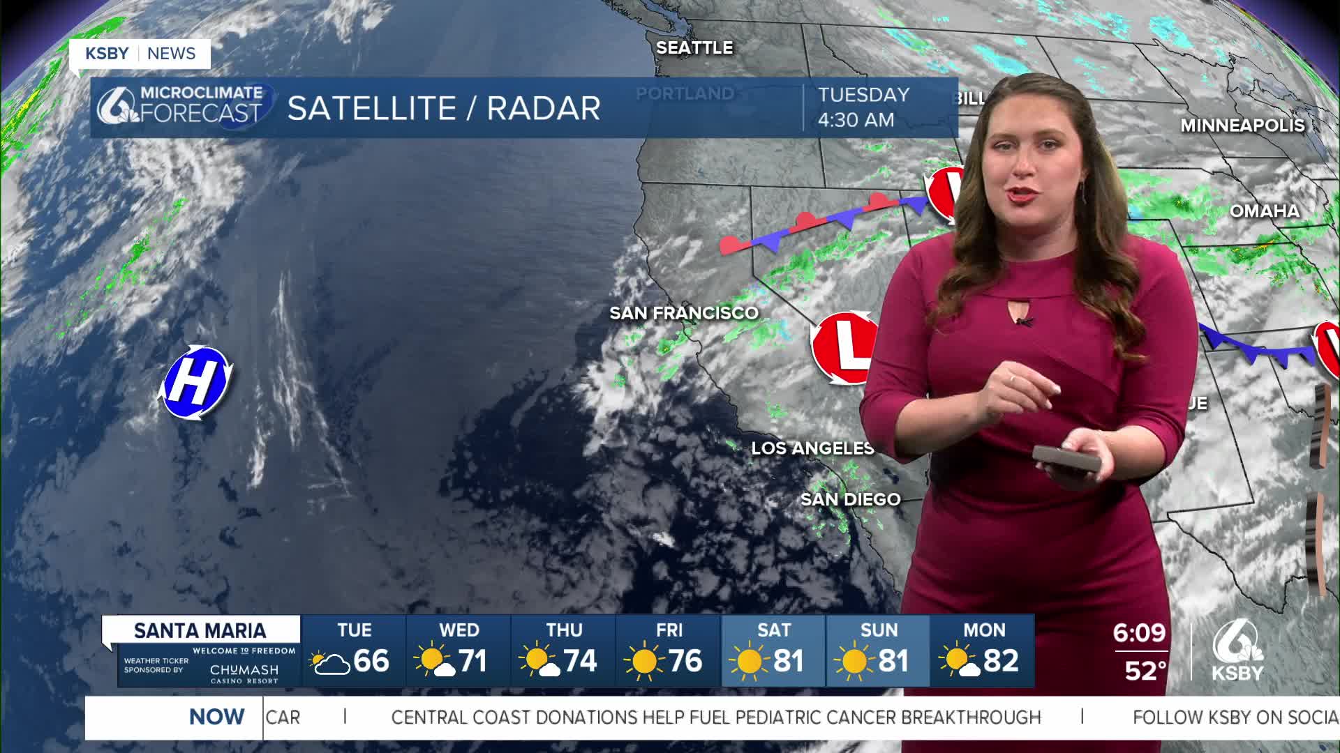
Today, more of the lingering cloud cover and potential for very light rain is possible. Not an issue for us but something to be aware of.
Starting this afternoon, the low pressure that has kept us cool will shift east and begin to make way for a massive ridge of high pressure. Offshore winds, minimal marine influence and sunshine are the story for the weekend into next week.

Here is what that high pressure will do to temperatures. 70s Wednesday, 80s Thursday, and for interiors at least, 90s by the weekend. It will be a toasty Mother's Day!


Those hot temps will remain the story for quite a while. Lingering high pressure is expected to continue into the second half of May.

Enjoy the summer-like temps, they will be sticking around through much of May.
Have a wonderful day, Central Coast!
-Vivian
