

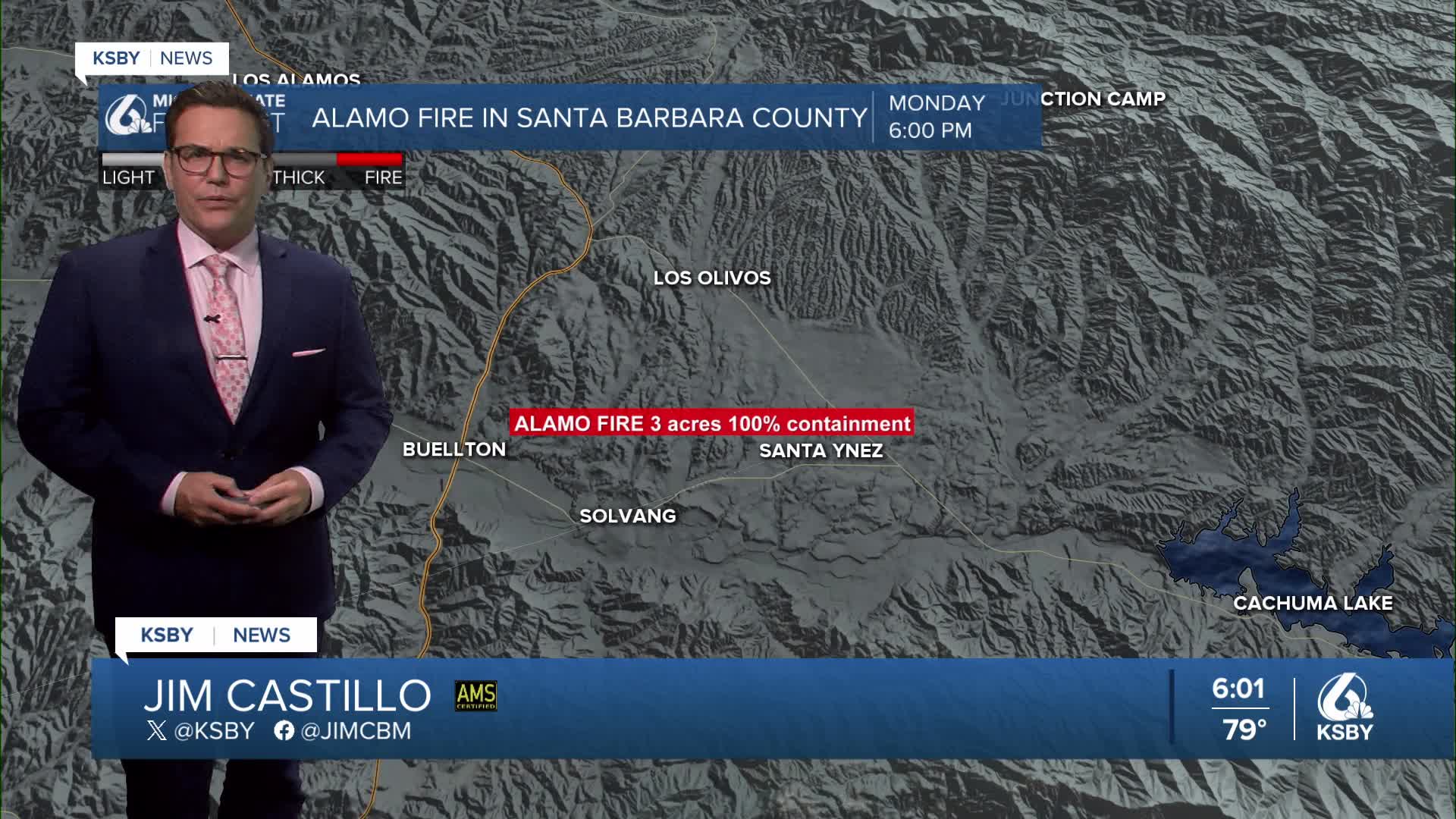


Good Monday evening, Central Coast!
The KSBY weather team is tracking significant heat in San Luis Obispo and Santa Barbara Counties all week, peaking Wednesday, along with critical fire weather conditions Wednesday pm into Thursday morning.
Monsoonal moisture continues streaming into our region from the southeast, making it feel humid. While thunderstorms haven't materialized as of early afternoon, satellite imagery shows clearing to our south, with a slight chance of showers or a rumble.
As monsoonal moisture decreases Tuesday, expect much more sunshine, allowing temperatures to reach near full potential.
Inland valleys mid to 90s up to 105 degrees.
Coastal valleys mid to upper 80s
Beaches in the mid to upper 70s
The heat wave reaches its most dangerous phase Wednesday as pressure gradients turn lightly offshore, delaying our marine layer and sea breeze.
Hot 100s for the interior valleys, coastal valleys 90s and 70s to near 80 at the beaches. It's hottest between 10 am and 7 pm.
A significant weather hazard develops Tuesday evening across the Santa Ynez Mountains and southern Santa Barbara County.
Also, Wednesday evening into Wednesday night and early on Thursday with stronger Sundowners.
Sundowners will cause winds to gust 35 to 50 mph with isolated gusts to 60 mph Wednesday evening into Thursday morning.
Temperatures with the hot downsloping winds could push temperatures into the 90s at the coast and near 100 in the foothills.
A Fire Weather Watch has been issued for all of the Santa Barbara south coast and in the mountains.
Gradual cooling begins Thursday with temperatures dropping 2-4 degrees, though still running 6-12 degrees above normal. A slow transition continues into the weekend.
Below: The Heat Advisory expands closer to the beaches for Tuesday through Thursday.

Below: An Extreme Heat Warning for most of Santa Barbara County Tuesday through Thursday. 10 am until 7 pm will be the hottest period.

Below: A Fire Weather Watch for most of Santa Barbara County for Wednesday pm until Thursday am, with gusty Sundowner winds downsloping, drying the air out and heating up Wednesday pm. Fire danger is very high.


Below: A Beach Hazard Statement for a long period southerly swell brings a high risk for rip currents and higher tides.


Have a great night, Central Coast!
-Jim
