

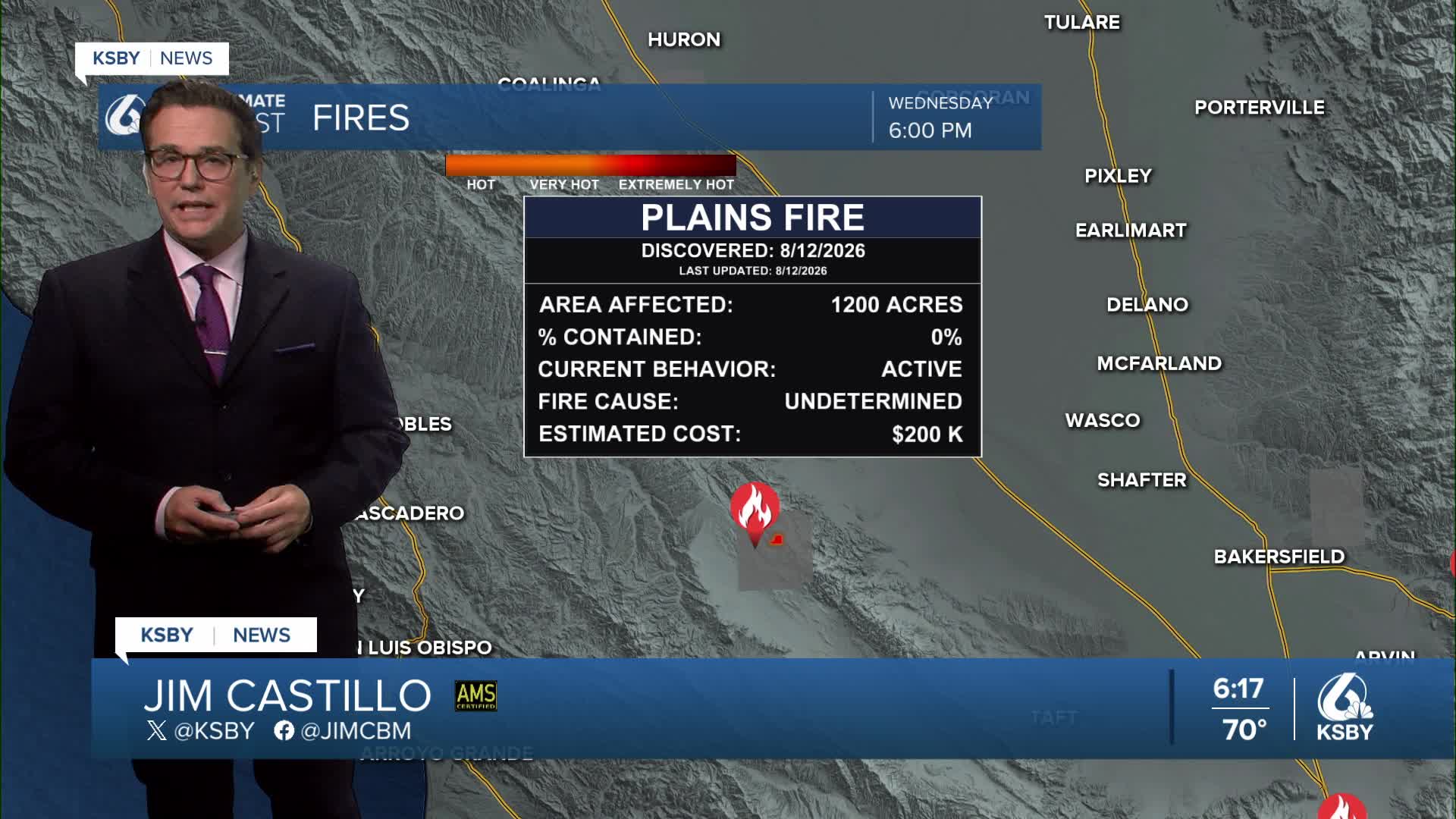


Good Wednesday evening, Central Coast!
Here's your weather forecast for San Luis Obispo and Santa Barbara Counties
A significant cooling trend continues through Thursday as an upper-level trough builds into the West Coast and settles over our region through at least Friday. Temperatures will drop several degrees below normal, with inland valleys cooling into the 80s on Thursday - that's well below average for this time of year.
Shower and Thunderstorm activity is still possible tonight. A few storms have popped up along the Central Coast over the Timber Fire in Big Sur.
The main weather story tonight focuses on spotty convective chances across our mountains and still possible in the lower elevations. A small vorticity lobe currently positioned about 200 miles west of the Central Coast is tracking northwestward and expected to move onshore this evening through Thursday morning. This is the lift we need to see a few showers and storms pop up.
Thunderstorm and shower probabilities are 15 to 30 percent for San Luis Obispo and Santa Barbara Counties tonight, with activity potentially lingering overnight into Thursday afternoon. The Santa Lucia Mountains, Santa Ynez Mountains, and portions of Los Padres National Forest within our two counties have the highest chances for convective development.
By Thursday, southwest flow from the trough will bring enough atmospheric drying to reduce convective threats Thursday and Friday.
Expect more robust marine layer cloud coverage this week, though higher-level clouds may occasionally disrupt formation. The vorticity lobe moving through tonight may interfere with typical marine layer development. However, confidence increases for marine layer reformation Thursday night into Friday morning as onshore flow strengthens.
Friday morning, marine layer clouds may push inland as far as the southern Salinas Valley. Coastal clearing will be slower than normal, with some beaches experiencing only limited afternoon sunshine.
Saturday brings the start of a warming and drying pattern as onshore flow weakens and 500-millibar heights begin rising. The marine layer becomes less expansive, and inland valley temperatures climb back into the 80s to low 90s.
Temperatures will warm each day over the extended period, remaining below seasonal normals across San Luis Obispo and Santa Barbara Counties.


Have a great night, Central Coast!
-Jim
