

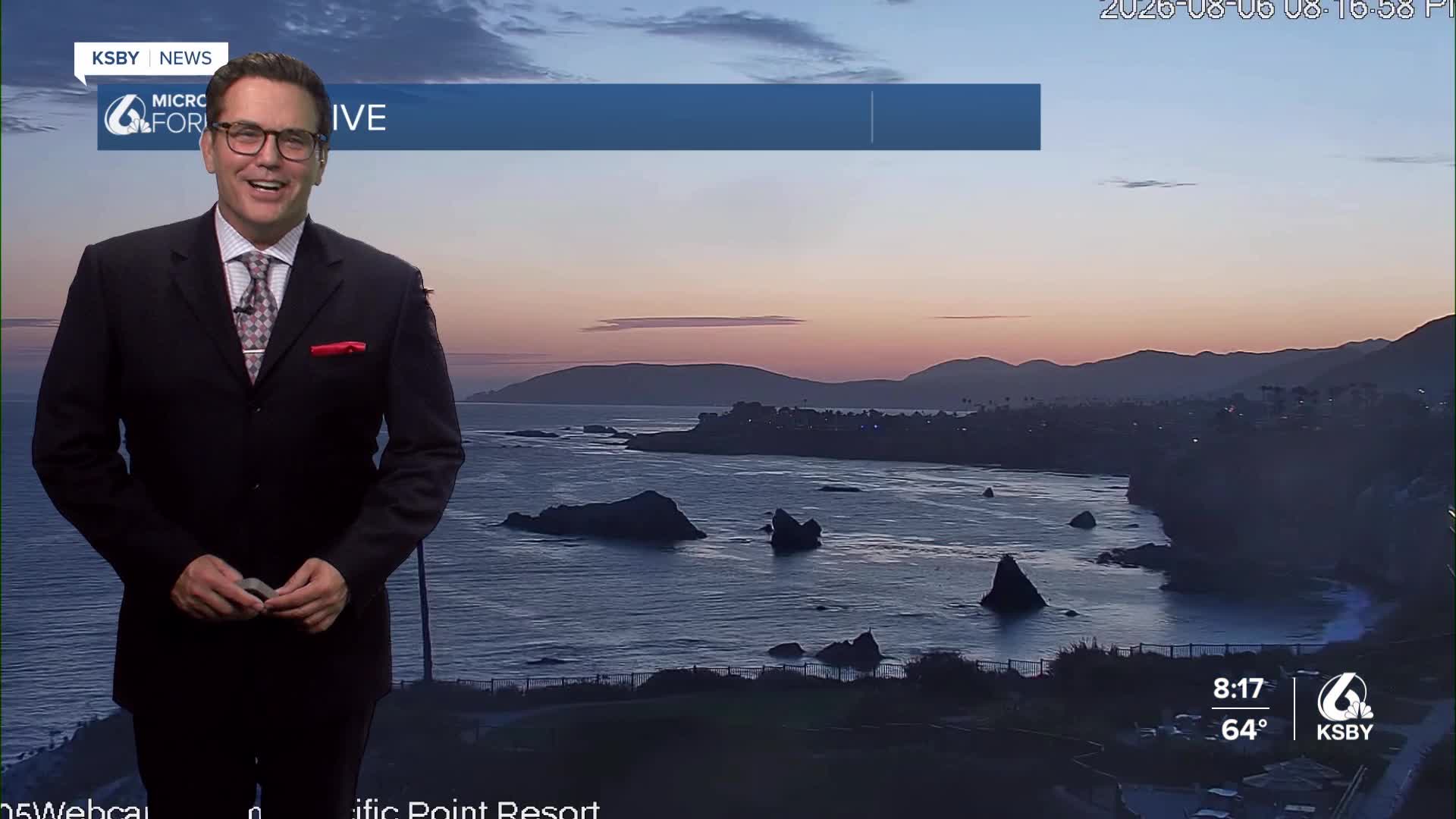


Good evening, Central Coast, from Meteorologist Jim Castillo
Here is your weather forecast for San Luis Obispo & Santa Barbara Counties
Current Pattern Overview: A strong ridge of high pressure centered near the Four Corners region will remain stationary through Friday before expanding westward over Southern California. This pattern will drive continued heat through the weekend, mainly over interior areas of both counties.
Marine Layer & Coastal Conditions: Night through morning low clouds and fog will persist over coastal areas and coastal valleys through at least this weekend. The marine layer will clear each afternoon, but clearing times may vary based on onshore flow strength. Coastal temperatures will be moderated by the marine influence, though exact values remain uncertain due to varying marine layer depth and onshore wind patterns.
Heat Advisory Areas: Heat advisories and a few warnings remain in effect for lower mountain elevations in the Santa Lucia Mountains, Santa Ynez Mountains, and interior sections of Los Padres National Forest within San Luis Obispo and Santa Barbara Counties. Coastal valleys are not included in heat advisories.


Peak Heat Timing: Saturday is forecast to be the warmest day in this heat event in those interior locations. The upper-level high pressure system will be strongest through Saturday before weakening slightly into Sunday.
Surface pressure gradients between coastal and inland areas will weaken Friday, then strengthen Saturday and especially Sunday. These gusty interior winds, combined with hot and dry conditions, will create elevated to brief critical fire weather conditions across interior portions of both counties.
Monsoonal Moisture Influence: Southeast flow aloft will draw subtropical moisture across the region, primarily at upper levels. This still could increase moisture raising near-surface humidity levels, particularly in coastal and near-coastal areas. Combined with warmer sea surface temperatures, this will increase daytime heat impacts and keep overnight lows warmer than normal, especially around Santa Barbara.
Some significant cooling begins Monday as the ridge weakens and weak troughs move through Oregon and Northern California. Heights will fall while onshore flow strengthens from both north and east directions.
The marine layer will deepen and expand into valleys, causing slower-than-normal clearing. Some west-facing beaches may see only limited clearing during afternoons and evenings.
Temperatures will drop a few degrees each day Monday through Thursday. Maximum temperatures will approach normal values by Tuesday, then fall below normal Wednesday and Thursday. Interior valley locations in both counties will see temperatures in the mid-80s to lower 90s by mid-week.
Below are the current reservoir levels and the change from last week.


Below: Wave heights on Thursday, August 6th, 2026.


As we continue watching El Niño strengthen, the tropics in the Pacific are quiet this week. No new storms as of Thursday.

Have a great night, Central Coast!
-Jim
