

Wednesday brought another day of strong winds and warm temperatures to the region. For many, the biggest headline was a massive plume of smoke emanating from the Gifford Fire.
Here is how it looked just after noon from South San Luis Obispo.

When I snapped that photo, the plume was just getting going. At its peak, the pyrocumulus cloud reached over 11,000 ft in the air (radar estimated). That plume of smoke is bringing air quality concerns to most coastal valleys south of the flames. Here is a map of the smoke shield.

According to CAL FIRE, as of Wednesday evening, the Gifford Fire has burned 130,440 acres, and containment is at 41%. For the latest updates on the fire, click here.
It is another windy evening along the Santa Barbara County south coast. A sundowner wind event will bring gusts up to 55 mph to the Gaviota Coastline this evening, which is enough for concern, so a wind advisory has been issued for the Western Santa Barbara County coastline through 5 a.m. Thursday morning.

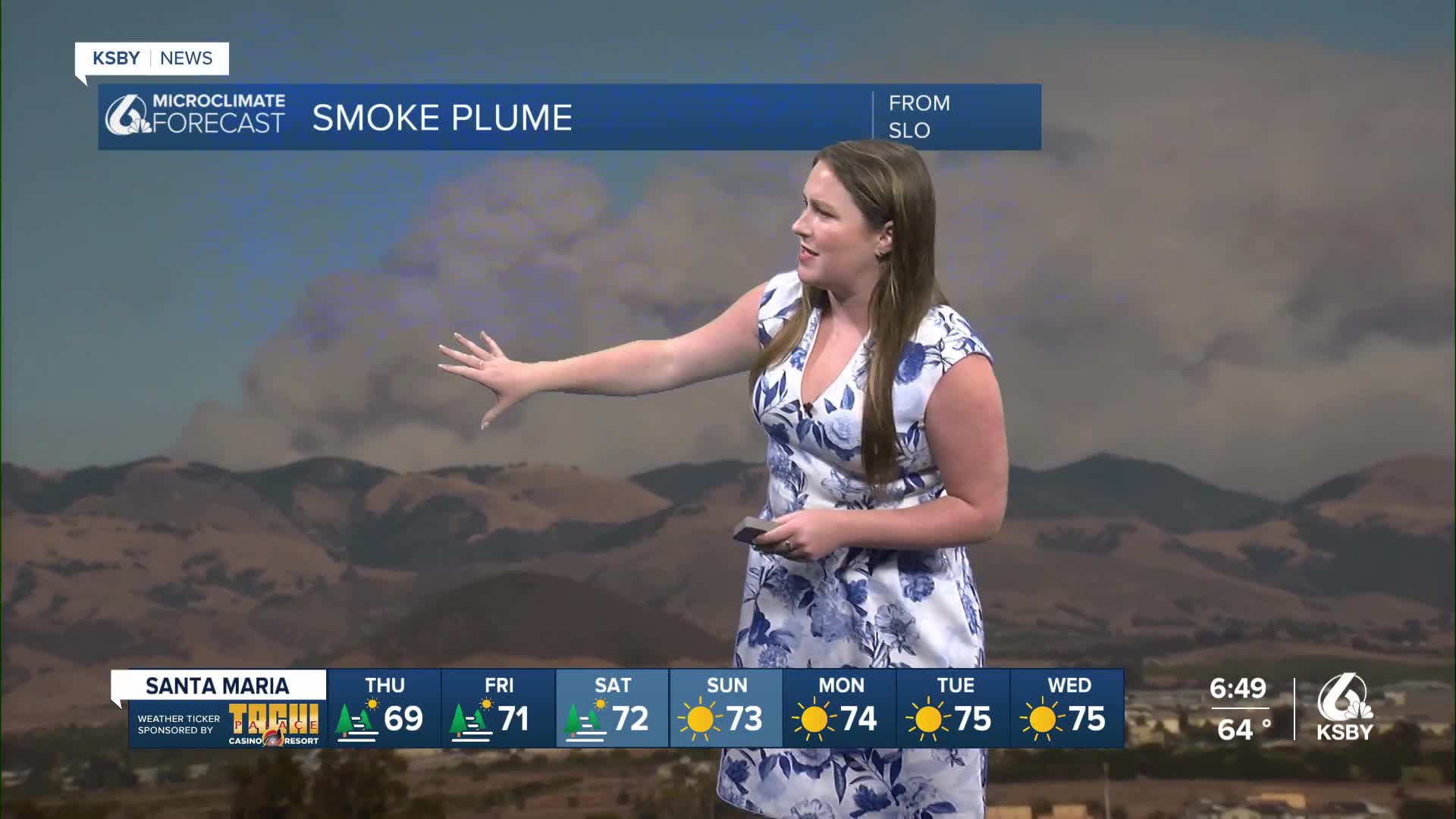
Thursday is the first day of school for many districts across the region. Here is your forecast so you can be prepared for those first bus pick-ups of the year.

Highs on Thursday will take a small tumble (mainly for the interiors) but will stay close to normal for this time of the year. There are continued gusty winds tomorrow, though, expect afternoon wind gusts up to 30 mph.

Into the 7-day forecast, we will continue a slight cooling trend. This is thanks to a small upper-level trough of low pressure that will draw more cool, dense marine air into the region. That means high temps will be on the cooler side. Still low 90s are expected in the interiors, mid 70s for coastal valleys, and high 60s at the beaches.


Be sure to stay aware of changes to the Gifford Fire and the forecast as we head to the latter half of the week.
-Vivian
