


Good Thursday evening, Central Coast!
Central Coast weather outlook for San Luis Obispo and Santa Barbara Counties:
Summer Solstice Saturday and Father's Day Sunday!
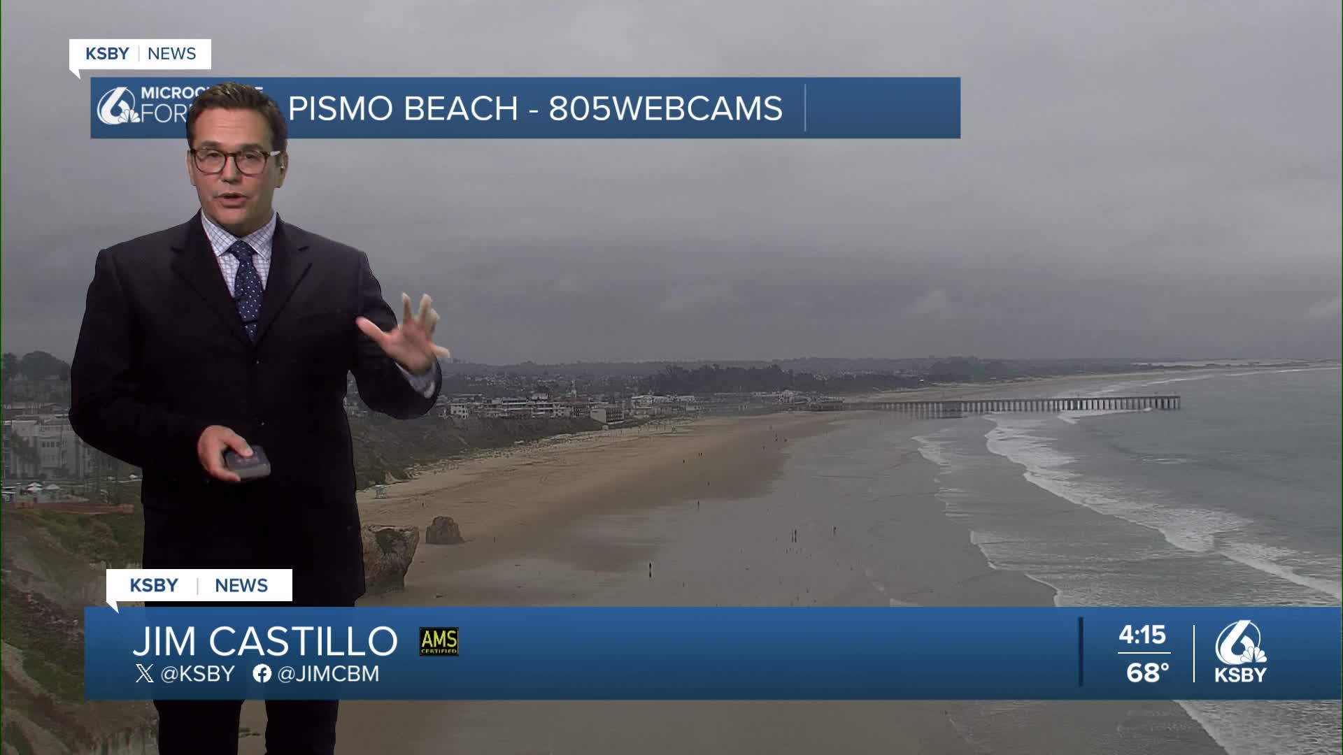
The Central Coast is locked into a classic June Gloom pattern with a very deep marine layer extending 3,000 to 4,000 feet. This deep marine influence is driving stratus and stratocumulus clouds well into the interior valleys, keeping temperatures remarkably cool for mid-June.
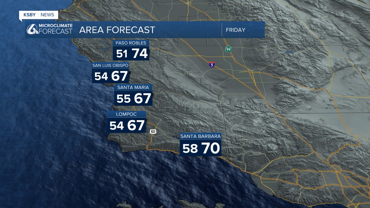
Through Friday - Continued Cooling: Expect steady cooling through Friday with afternoon highs dropping another 1-3 degrees daily. The marine layer will maintain its impressive depth, with onshore flow strengthening. Only the warmest valley locations, like Paso Robles, may reach near 80 degrees on Saturday and well into the 80's on Father's Day Sunday, while most areas remain in the 70s. Coastal zones will struggle to escape the 60s. The Santa Lucia Mountains and Santa Ynez Mountains will see persistent morning clouds with slow afternoon clearing.
Weekend Outlook: Saturday brings little temperature change, perhaps slight warming across San Luis Obispo County as upper-level flow becomes more zonal. The marine layer remains entrenched with ample low clouds each morning. Sunday shows the first signs of gradual warming as onshore flow weakens slightly, though still well below seasonal norms.
Gusty onshore winds will affect interior areas through next week.
Next Week's Heat Build: A significant pattern change arrives Monday as upper-level high pressure strengthens east-southeast of the Central Coast. The marine layer compresses to 1,000 feet or less, dramatically reducing valley cloud coverage. Temperatures climb 3-6 degrees on Monday, then 2-4 degrees on Tuesday and Wednesday. By Wednesday through Friday, Paso Robles will likely reach the 90's next week.
Below are the Reservoir levels and the change from a week ago.


Have a great night, Central Coast!
-Jim
